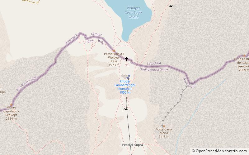
Rifugio Lambertenghi Romanin
Map

Map

Facts and practical information
The Lambertenghi-Romanin refuge is an alpine refuge, located in the territory of the municipality of Forni Avoltri, in the province of Udine, on the slopes of Mount Coglians and Mount Volaia, a few meters from the Austrian border.
Coordinates: 46°36'28"N, 12°52'7"E
Day trips
Rifugio Lambertenghi Romanin – popular in the area (distance from the attraction)
Nearby attractions include: Coglians, Monte Crostis, Carnic and Gailtal Alps, Rifugio Edoardo Tolazzi.
Frequently Asked Questions (FAQ)
When is Rifugio Lambertenghi Romanin open?
Rifugio Lambertenghi Romanin is open:
- Monday 7 am - 12 am
- Tuesday 7 am - 12 am
- Wednesday 7 am - 12 am
- Thursday 7 am - 12 am
- Friday 7 am - 12 am
- Saturday 7 am - 12 am
- Sunday 7 am - 12 am


