Carnic and Gailtal Alps

Gallery (2)
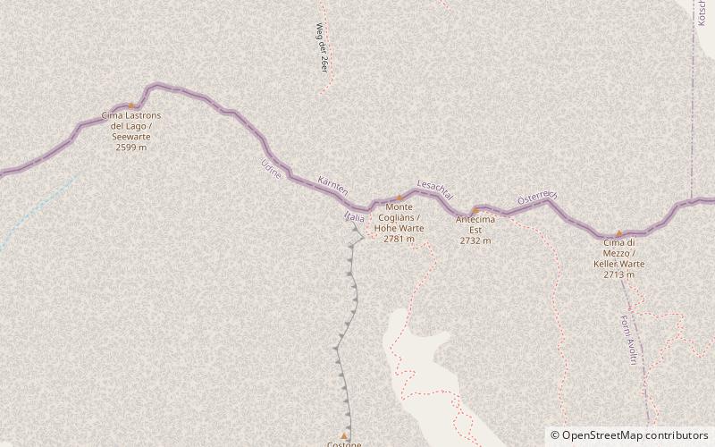
Map
Map
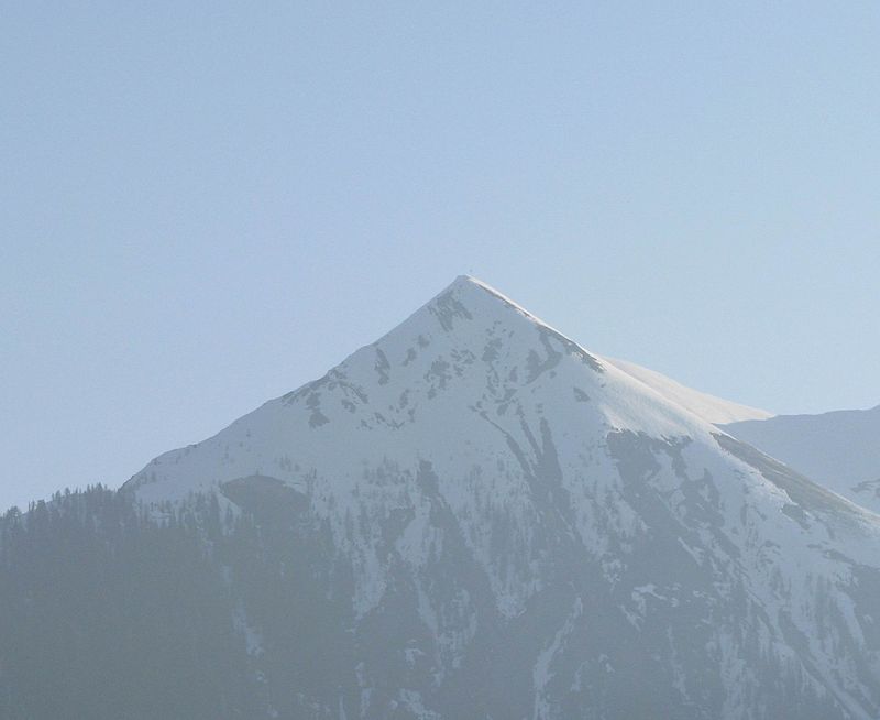
Gallery
Facts and practical information
Local name: Alpi Carniche e della Gail Maximum elevation: 9121 ftElevation: 9121 ftCoordinates: 46°36'25"N, 12°52'56"E
Location
Friuli-Venezia Giulia
ContactAdd
Social media
Add
Day trips


