Porta Marzia, Perugia


Facts and practical information
Porta Marzia is a place located in Perugia (Umbria region) and belongs to the category of historical place, city gate.
It is situated at an altitude of 1532 feet, and its geographical coordinates are 43°6'30"N latitude and 12°23'20"E longitude.
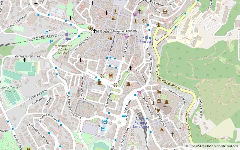
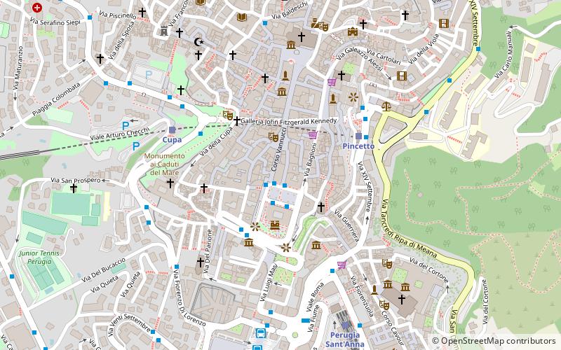
Planning a visit to this place, one can easily and conveniently get there by public transportation. Porta Marzia is a short distance from the following public transport stations: P. Italia (bus, 2 min walk), Pincetto (train, 5 min walk).
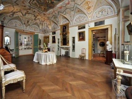
Among other places and attractions worth visiting in the area are: Palazzo della Provincia e della Prefettura (palace, 1 min walk), Rocca Paolina (forts and castles, 1 min walk), Palazzo della Penna museo civico (museum, 2 min walk).
Perugia
Porta Marzia – popular in the area (distance from the attraction)
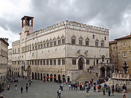
Nearby attractions include: Palazzo dei Priori, Galleria Nazionale dell'Umbria, Fontana Maggiore, Palazzo della Provincia e della Prefettura.
Frequently Asked Questions (FAQ)
Which popular attractions are close to Porta Marzia?
How to get to Porta Marzia by public transport?
Bus
- P. Italia • Lines: G, H, I (2 min walk)
- Via Guglielmo Marconi • Lines: A, D, Linea L - P. Partigiani => Cordi (4 min walk)
Train
- Pincetto (5 min walk)
- Perugia Sant'Anna (5 min walk)


