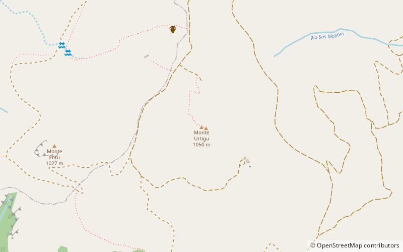
Monte Urtigu

Gallery (2)
Map
Map
Gallery
Facts and practical information
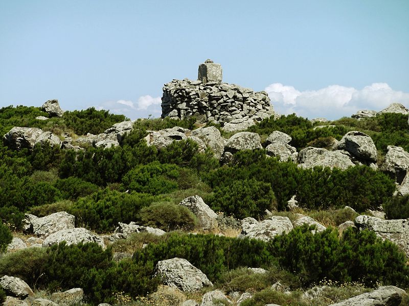
Mount Urtigu, with its 1050 m above sea level Punta Su Mullone, is the highest peak in the Montiferru Massif and is located in the municipality of Santu Lussurgiu.
On its summit is a trigonometric marker used by the general and cartographer Alberto La Marmora for early measurements of elevations; a few dozen meters below on the northern slope are the remains of Nuragic settlements.
Coordinates: 40°8'38"N, 8°36'27"E
Location
Sardinia
ContactAdd
Social media
Add
Day trips


