Tamuli, Macomer


Facts and practical information
The nuragic complex of Tamùli is an important archaeological site dating from the Middle Bronze Age. It is located at an elevation of 720 m, on the slope of Mount Sant'Antonio, where the Marghine chain joins the Montiferru, and is part of the municipality of Macomer, province of Nuoro, from which it is about 5 kilometers away.
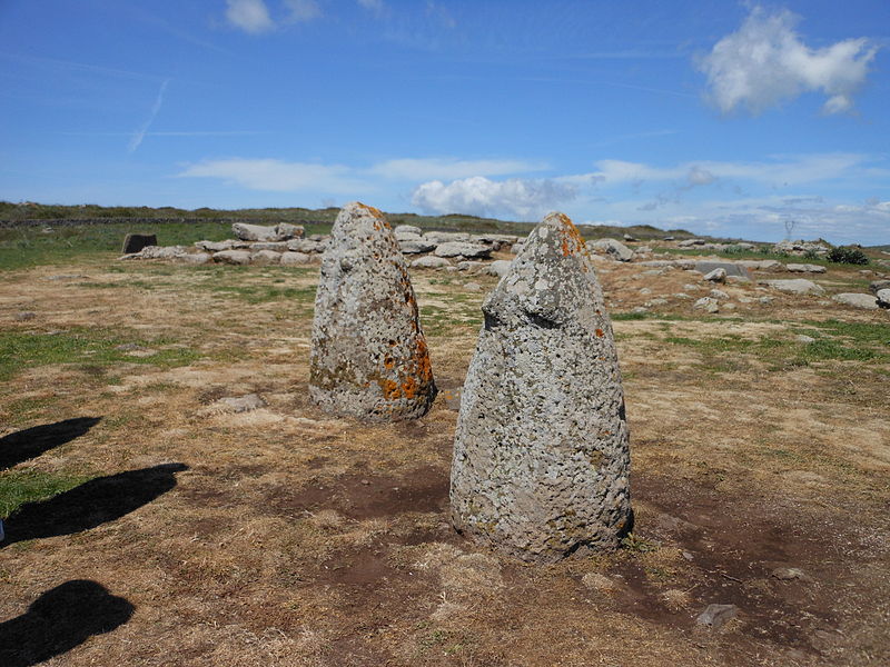
The site was already well known in the first half of the 19th century, thanks mainly to the description that the scholar Gen. Alberto Della Marmora made in his Voyage en Sardaigne, published in 1840. In the accompanying atlas he fully illustrated with numerous drawings the nuraghe, two of the three tombs of the giants present, the betili and some ashlars present on the site; also very rich is the photographic documentation published by Christian Zervos in Paris, in 1954.
The first excavation campaign by Ercole Contu and Renato Loria dates back to 1973.
The Tamuli archaeological complex includes a number of diverse sections such as a nuraghe, a village, and a necropolis.
Tamuli – popular in the area (distance from the attraction)
Nearby attractions include: Church of del Carmine, Chiesa della Beata Vergine Assunta, Chiesa di San Lussorio, Sindia.


