Monte Resegone, Lecco

Gallery (1)
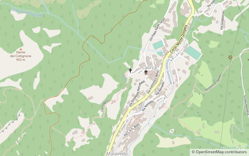
Map
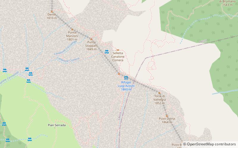
Map
Facts and practical information
Monte Resegone or Resegone di Lecco, also known as Monte Serrada, is a mountain of the Bergamasque Prealps in Lombardy, northern Italy. It has an elevation of 1,875 m and is located on the border between the provinces of Bergamo and Lecco. ()
Day trips