Pollino, Pollino National Park

Gallery (1)
Map
Map
Facts and practical information
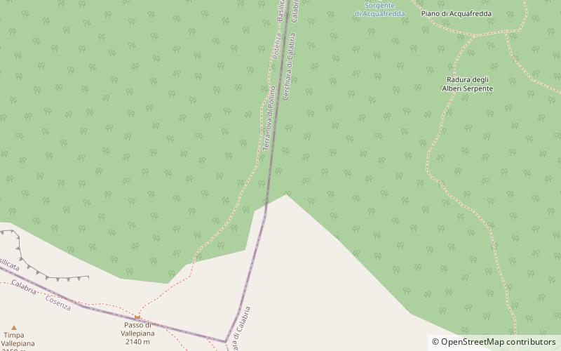
The Pollino is a massif in the southern Apennines, on the border between Basilicata and Calabria, southern Italy. It became part of the Pollino National Park in 1992. The main peaks include Monte Pollino and the massif's high point, Serra Dolcedorme, which overlooks the plain of Sibari. ()
Local name: Massiccio del Pollino Elevation: 7438 ftProminence: 5627 ftCoordinates: 39°54'0"N, 16°13'0"E
Address
Pollino National Park
ContactAdd
Social media
Add
Day trips


