Corropoli internment camp, Corropoli

Map
Facts and practical information
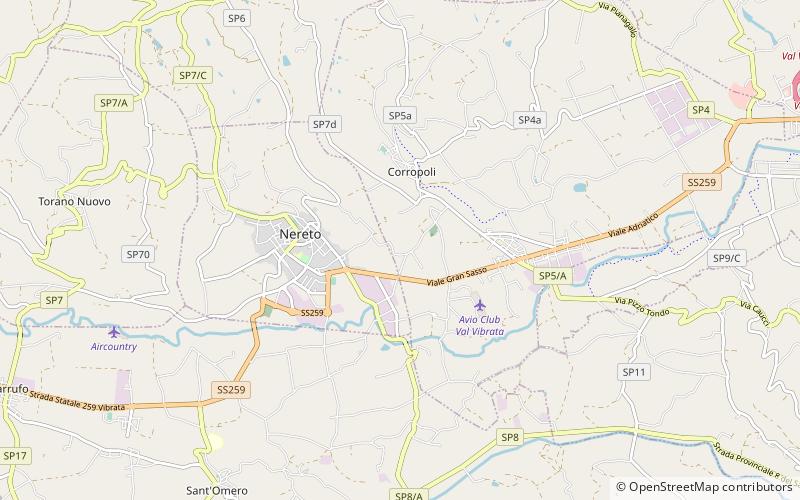
Corropoli internment camp, in the province of Teramo, was one of several internment camps set up by the fascist government following the entry of Italy into World War II, to sit foreigners and anti-fascists. It operated from January 1941 to May 1944, with a maximum capacity of 150 people. Irredentist Slavic and Italian communists were interned and after September 8, 1943 it also served as a concentration camp for Jews. ()
Coordinates: 42°49'1"N, 13°49'59"E
Address
Corropoli
ContactAdd
Social media
Add
Day trips
Corropoli internment camp – popular in the area (distance from the attraction)
Nearby attractions include: Nereto internment camp, Tortoreto, Torre di Carlo V, Torano Nuovo.


