Monte Lera
Map

Map

Facts and practical information
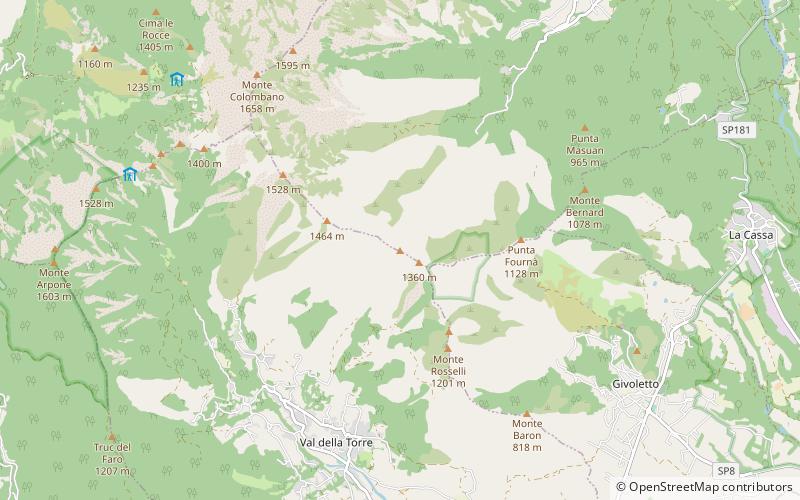
Monte Lera is a mountain in the Alpi di Lanzo, a sub-group of the Graian Alps, with an elevation of 1,368 m. It is located between the Val Casternone and the Ceronda valley in the communes of Val della Torre, Varisella and Givoletto. ()
Location
Piedmont
ContactAdd
Social media
Add
Day trips
Monte Lera – popular in the area (distance from the attraction)
Nearby attractions include: Sacra di San Michele, Monte Musinè, Pianezza, Castello di Villar Dora.


