Saldurspitze
Map

Map

Facts and practical information
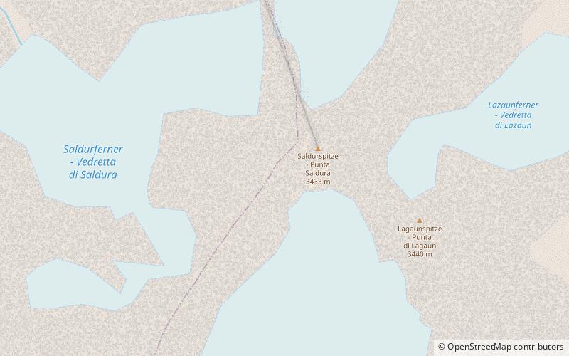
The Saldurspitze or Salurnspitze is a mountain in the Saldurkamm group of the Ötztal Alps. It forms a double peak with the slightly higher Lagaunspitze to the southeast. ()
Alternative names: First ascent: 1853Elevation: 11263 ftProminence: 213 ftCoordinates: 46°44'24"N, 10°44'6"E
Location
Trentino-South Tyrol
ContactAdd
Social media
Add
Day trips
Saldurspitze – popular in the area (distance from the attraction)
Nearby attractions include: Weißkugel, Vernagt-Stausee, Grawand, Im Hinteren Eis.


