Lagaunspitze

Gallery (1)
Map
Map
Facts and practical information
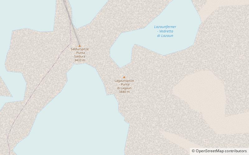
The Lagaunspitze is a mountain in the Saldurkamm group of the Ötztal Alps. It forms a double peak with the slightly lower Saldurspitze to the northwest. ()
Alternative names: First ascent: 1853Elevation: 11283 ftProminence: 1385 ftCoordinates: 46°44'21"N, 10°44'21"E
Location
Trentino-South Tyrol
ContactAdd
Social media
Add
Day trips


