Rifugio Pagarì
Map

Map

Facts and practical information
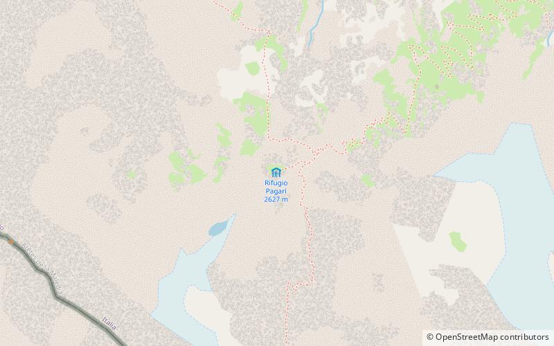
The Federici-Marchesini al Pagarì refuge, often referred to simply as the Pagarì refuge, is an alpine refuge located in the municipality of Entracque, at an altitude of 2650 m, in the Maritime Alps Nature Park.
Coordinates: 44°7'26"N, 7°24'23"E
Day trips
Rifugio Pagarì – popular in the area (distance from the attraction)
Nearby attractions include: Cime du Gélas, Monte Argentera, Lago del Chiotas, Monte Clapier.


