Crescenzago, Milan
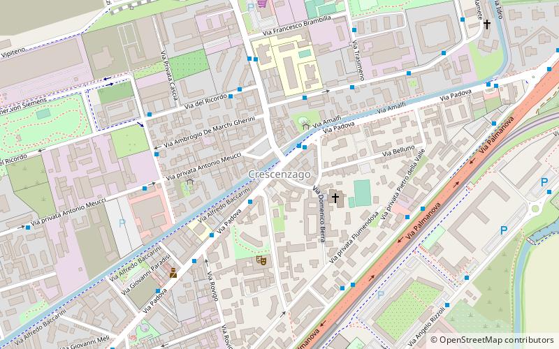
Map

Map

Facts and practical information
Crescenzago is a district of Milan, Italy, part of the Zone 2 administrative division, north-east of the city centre. It became part of Milan in 1923; prior to that, it was an independent borgo. The town is traversed by the Naviglio Martesana canal. The district houses several historical buildings, most notably a 12th Century abbey and several villas from the 18th Century. It also has notable green areas, such as part of the Lambro park, as well as industrial archeological features, most notably the abandoned Ovomaltina factory. ()
Address
Zona 2 (Padova)Milan
ContactAdd
Social media
Add
Day trips
Crescenzago – popular in the area (distance from the attraction)
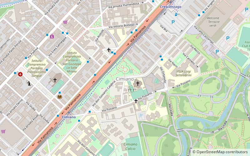
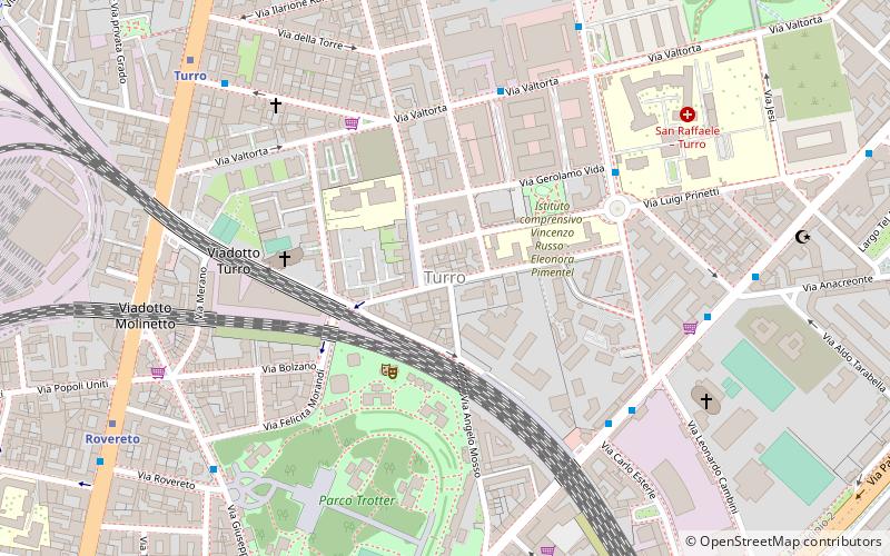
Nearby attractions include: Santi Re Magi, Chiesa di Santa Maria Rossa, Cimiano, Turro.
Frequently Asked Questions (FAQ)
Which popular attractions are close to Crescenzago?
Nearby attractions include Chiesa di Santa Maria Rossa, Milan (3 min walk), Santi Re Magi, Milan (13 min walk), Cimiano, Milan (15 min walk).
How to get to Crescenzago by public transport?
The nearest stations to Crescenzago:
Bus
Metro
Train
Tram
Bus
- Via Padova - Via Giulietti • Lines: 56, 56/ (1 min walk)
- Via San Mamete - Via Adriano • Lines: 53, 56 (4 min walk)
Metro
- Crescenzago • Lines: M2 (7 min walk)
- Cascina Gobba • Lines: M2 (17 min walk)
Train
- Cascina Gobba (18 min walk)
- Cimiano (18 min walk)
Tram
- Anassagora • Lines: 7 (23 min walk)
- Parmenide • Lines: 7 (26 min walk)

 Metro
Metro


