Penser Weißhorn

Gallery (1)
Map
Map
Facts and practical information
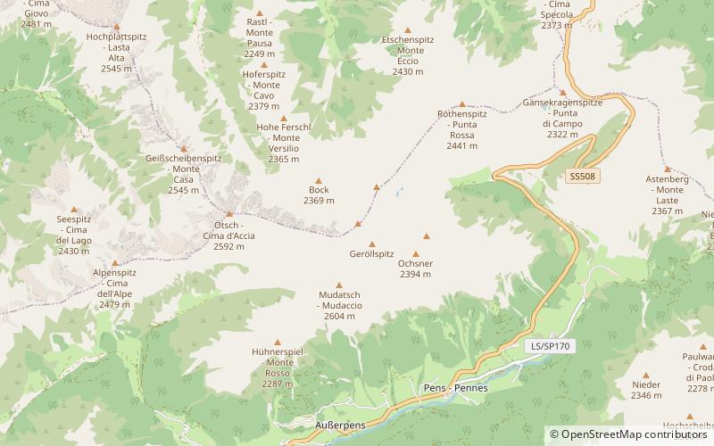
The Penser Weißhorn is a mountain of the Sarntal Alps in South Tyrol, Italy. Located near the Penser Joch, its summit appears almost inaccessible due to its seemingly vertical pyramidal shape, although it is a popular location for hikers, and can be climbed by the sure footed in around two hours as a mini via ferrata has been established on its south face. The view from the summit takes in the whole of the Sarntal Alps. ()
Location
Trentino-South Tyrol
ContactAdd
Social media
Add
Day trips


