Rogoredo, Milan
Map

Map

Facts and practical information
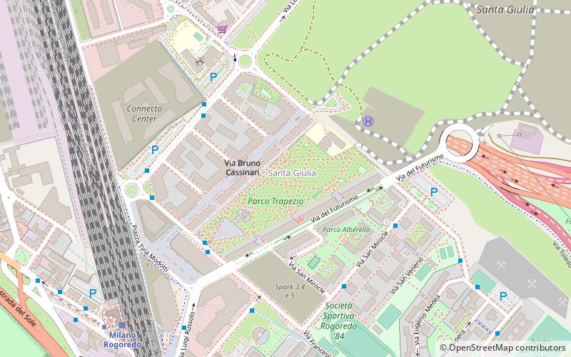
Rogoredo is a former municipality, currently border district of the city of Milan, Italy. It is part of the Zone 4 administrative division, and it is located 6–7 km south-east of the city centre. It borders on the Nosedo district to the east, on the Morsenchio district to the north, on the piazzale Corvetto neighbourhood to the north-west, and on the San Donato Milanese comune to the south-east. The name derives from the medieval Latin word robur, meaning "sessile oak, and stands for "oak wood". ()
Address
Zona 4 (Rogoredo)Milan
ContactAdd
Social media
Add
Day trips
Rogoredo – popular in the area (distance from the attraction)
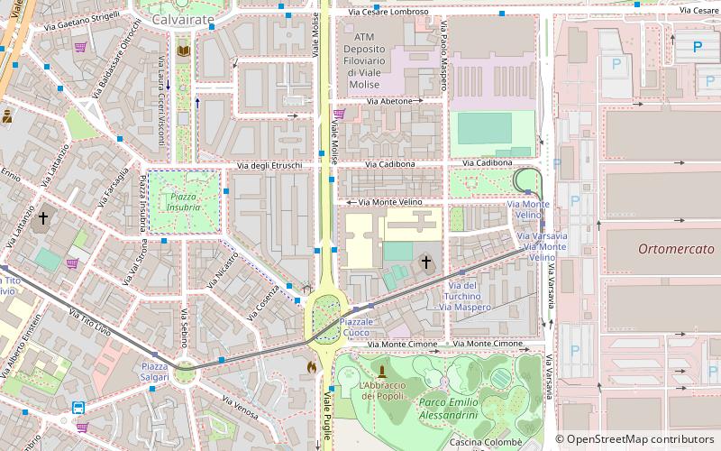
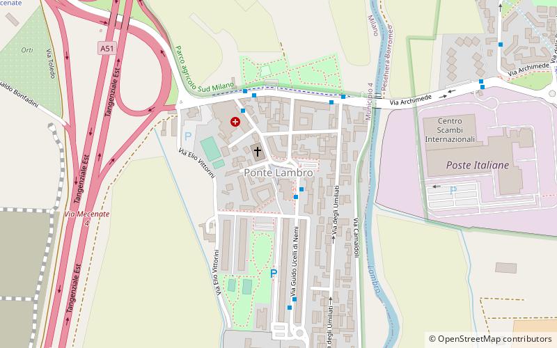
Nearby attractions include: Parco Emilio Alessandrini, Monluè, Calvairate, Nosedo.
Frequently Asked Questions (FAQ)
How to get to Rogoredo by public transport?
The nearest stations to Rogoredo:
Bus
Train
Metro
Tram
Bus
- Via Pizzolpasso - Via del Futurismo • Lines: 88 (4 min walk)
- Via Manzù - Via Cascella • Lines: 88 (4 min walk)
Train
- Milano Rogoredo (8 min walk)
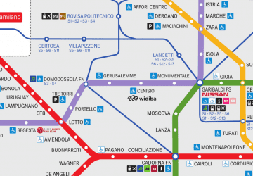
Metro
- Rogoredo • Lines: M3 (9 min walk)
- Porto di Mare • Lines: M3 (17 min walk)
Tram
- Viale Ungheria • Lines: 27 (17 min walk)

 Metro
Metro


