Sallustiano, Rome
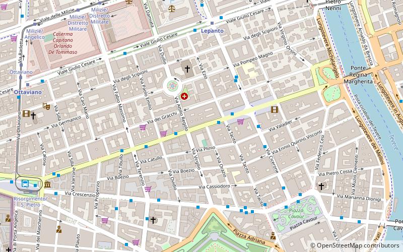
Map
Map

Facts and practical information
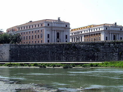
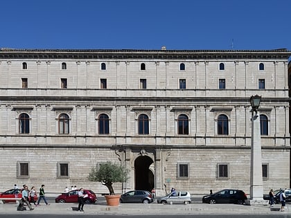
Sallustiano is the 17th rione of Rome, identified by the initials R. XVII. It is located within the Municipio I and the name refers to the ancient Gardens of Sallust, which were located here. ()
Address
PratiRome
ContactAdd
Social media
Add
Day trips
Sallustiano – popular in the area (distance from the attraction)
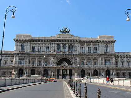
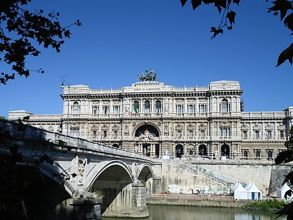
Nearby attractions include: Castel Sant'Angelo, Ponte Sant'Angelo, Palace of Justice, Ponte Umberto I.
Frequently Asked Questions (FAQ)
Which popular attractions are close to Sallustiano?
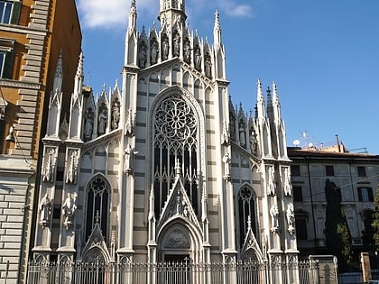
Nearby attractions include Prati, Rome (1 min walk), Fontana della Piazza dei Quiriti, Rome (3 min walk), Chiesa di San Gioacchino in Prati, Rome (4 min walk), Parco Adriano, Rome (8 min walk).
How to get to Sallustiano by public transport?
The nearest stations to Sallustiano:
Bus
Metro
Tram
Ferry
Light rail
Train
Bus
- Cola di Rienzo/Tacito • Lines: 81 (1 min walk)
- Piazza Cola di Rienzo • Lines: 81 (2 min walk)
Metro
- Lepanto • Lines: A (6 min walk)
- Ottaviano • Lines: A (10 min walk)
Tram
- Lepanto • Lines: 19 (9 min walk)
- Milizie/Distretto Militare • Lines: 19 (10 min walk)
Ferry
- Sant'Angelo • Lines: Battelli di Roma (12 min walk)
- Ponte Cavour (14 min walk)
Light rail
- Flaminio • Lines: Fc3 (17 min walk)
Train
- Vatican City (24 min walk)
- Roma San Pietro (26 min walk)

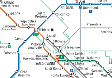 Metro / Tram / Rail

