Hintere Schöntaufspitze, Stelvio National Park
#26 among attractions in Stelvio National Park
Facts and practical information
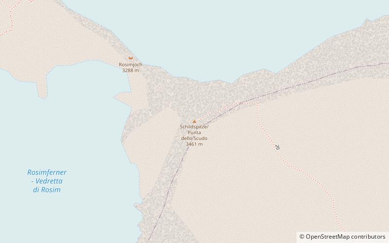
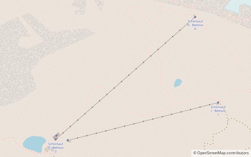
The Hintere Schöntaufspitze is a mountain in the Ortler Alps in South Tyrol, Italy. ()
Stelvio National Park Italy
Stelvio National Park plan & book
Unleash the traveler in you — discover the cheapest flight deals, find the perfect hotel or hostel nearby, and search for the best car rental prices. Travel at your own pace to discover new places and enjoy your journey.
Hintere Schöntaufspitze – popular in the area (distance from the attraction)
Nearby attractions include: Ortler, Rifugio Quinto Alpini, Königspitze, Monte Cevedale.
- 3.6 miWPeak with extreme skiing and WWI sites
Ortler, Stelvio National Park
91 min walk • Ortler is, at 3,905 m above sea level, the highest mountain in the Eastern Alps outside the Bernina Range. It is the main peak of the Ortler Range.
- 4 miWAlpine hut, Hiking
Rifugio Quinto Alpini, Stelvio National Park
103 min walk • The Quinto Alpini hut is an alpine hut located on a rock ridge in Val Zebrù, in the municipality of Valfurva in the Rhaetian Alps, in the heart of the Stelvio National Park, at 2,877 m above sea level.
- 2.8 miSWNatural attraction, Nature, Mountain
Königspitze, Stelvio National Park
72 min walk • The Königspitze is a mountain of the Ortler Alps on the border between South Tyrol and the Province of Sondrio, Italy. After the Ortler, it is the second highest peak in the Ortler Alps, at a height of 3,851m.
- 3.6 miSAlpine summit with a challenging ascent
Monte Cevedale, Stelvio National Park
92 min walk • Monte Cevedale is a mountain at the border of the Lombardy and Trentino-Alto Adige/Südtirol regions in Italy. The southern summit is the highest mountain of Trentino province, while three provinces, Sondrio, South Tyrol, and Trentino meet on the northern summit, known as Cima Cevedale or Zufallspitze.
- 3.8 miSWAlpine hut, Hiking
Rifugio Pizzini-Frattola, Stelvio National Park
97 min walk • The Pizzini Frattola refuge is a refuge located in the municipality of Valfurva, Valtellina in the Ortles-Cevedale group, at 2,706 m above sea level.
- 2.4 miNEMountain
Schildspitze, Stelvio National Park
61 min walk • The Schildspitze is a mountain in the Ortler Alps in South Tyrol, Italy.
- 3.4 miNENatural attraction, Nature, Mountain
Hoher Angelus, Stelvio National Park
87 min walk • The Hoher Angelus is a mountain in the Ortler Alps in South Tyrol, Italy.
- 3.8 miNWAlpine hut, Hiking, View point
Tabarettahütte - Rifugio Tabaretta, Stelvio National Park
98 min walk • The Tabaretta hut is an alpine hut located in the municipality of Stelvio, in the village of Solda, in the Southern Rhaetian Alps, at 2556 m a.s.l. It is situated on the ridge of Mount Marlet, at the foot of the northeastern slope of Punta...
- 4.5 miNNatural attraction, Nature, Mountain
Tschenglser Hochwand, Stelvio National Park
114 min walk • The Tschenglser Hochwand is a mountain in the Ortler Alps in South Tyrol, Italy.
- 2.7 miNNatural attraction, Nature, Mountain
Vertainspitze, Stelvio National Park
70 min walk • The Vertainspitze is a mountain in the Ortler Alps in South Tyrol, Italy.
- 3.6 miSNatural attraction, Nature, Natural feature
Ortler Alps, Stelvio National Park
92 min walk • The Ortler Alps are a mountain range of the Southern Limestone Alps mountain group in the Central Eastern Alps, in Italy and Switzerland.