Hoher Angelus, Stelvio National Park

Gallery (1)
Map
Map
Facts and practical information
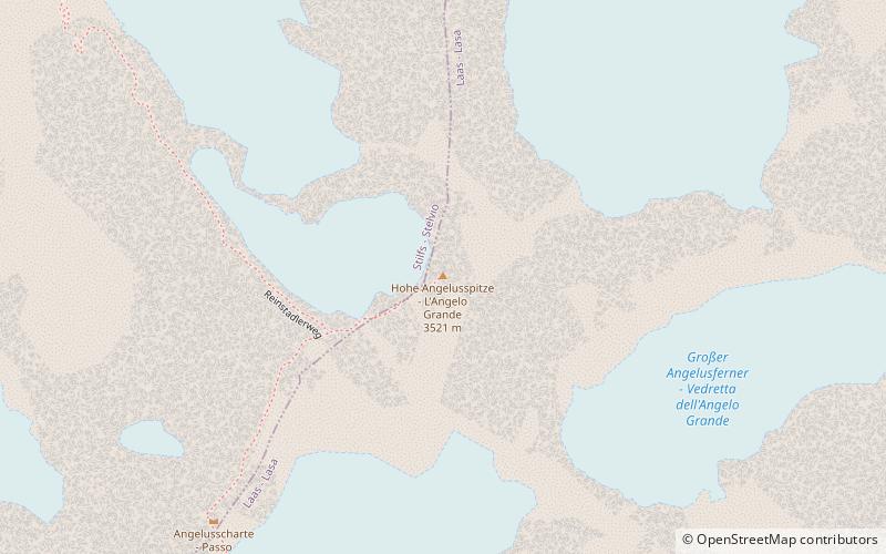
The Hoher Angelus is a mountain in the Ortler Alps in South Tyrol, Italy. ()
Address
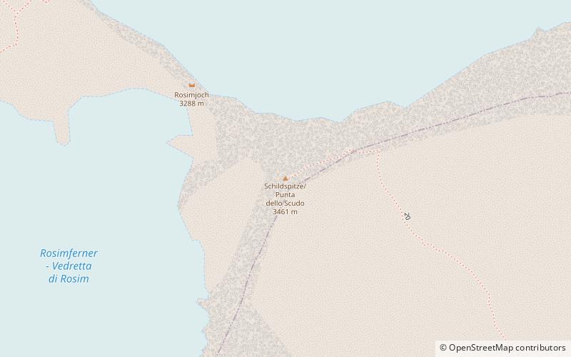
Stelvio National Park
ContactAdd
Social media
Add
Day trips
The Hoher Angelus is a mountain in the Ortler Alps in South Tyrol, Italy. ()
Stelvio National Park
Where to next? Visit ![]() Trentino-South Tyrol region page or discover the top tourist attractions in Italy.
Trentino-South Tyrol region page or discover the top tourist attractions in Italy.