Tuckettspitze, Stelvio National Park
#44 among attractions in Stelvio National Park
Facts and practical information
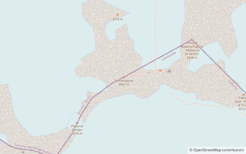
The Tuckettspitze is a mountain in the Ortler Alps in South Tyrol, Italy. ()
Stelvio National Park Italy
Tuckettspitze – popular in the area (distance from the attraction)
Nearby attractions include: Cima Coppi, Ortler, Piz da las Trais Linguas, Rifugio Quinto Alpini.
 Winter sport, Ski area
Cima Coppi, Stelvio National Park
35 min walk • The Cima Coppi is the title given to the highest peak in the yearly running of the Giro d'Italia, one of cycling's Grand Tour races. The mountain that is given this title each year awards more mountains classification points to the first rider than any of the other categorized mountains in the race.
 Peak with extreme skiing and WWI sites
Ortler, Stelvio National Park
71 min walk • Ortler is, at 3,905 m above sea level, the highest mountain in the Eastern Alps outside the Bernina Range. It is the main peak of the Ortler Range.
 Natural attraction, Nature, Mountain
Piz da las Trais Linguas, Stelvio National Park
73 min walk • Piz da las Trais Linguas, is a minor summit of the Ortler Alps, located on the border between Switzerland and Italy. The summit is the tripoint between the Italian regions of Lombardy and South Tyrol and the Swiss canton of Graubünden.
 Alpine hut, Hiking
Rifugio Quinto Alpini, Stelvio National Park
66 min walk • The Quinto Alpini hut is an alpine hut located on a rock ridge in Val Zebrù, in the municipality of Valfurva in the Rhaetian Alps, in the heart of the Stelvio National Park, at 2,877 m above sea level.
 Natural attraction, Nature, Mountain
Königspitze, Stelvio National Park
102 min walk • The Königspitze is a mountain of the Ortler Alps on the border between South Tyrol and the Province of Sondrio, Italy. After the Ortler, it is the second highest peak in the Ortler Alps, at a height of 3,851m.
 Alpine hut, Hiking
Rifugio Pizzini-Frattola, Stelvio National Park
134 min walk • The Pizzini Frattola refuge is a refuge located in the municipality of Valfurva, Valtellina in the Ortles-Cevedale group, at 2,706 m above sea level.
 Natural attraction, Nature, Mountain
Piz Umbrail, Stelvio National Park
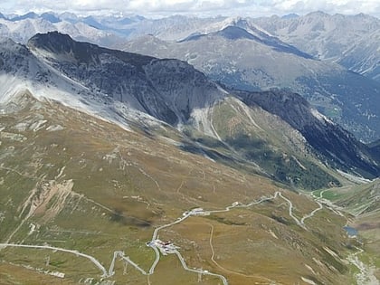
130 min walk • Piz Umbrail is a mountain of the Ortler Alps, south of the Umbrail Pass, located on the border between Lombardy and Graubünden.
 Alpine hut, Hiking, View point
Tabarettahütte - Rifugio Tabaretta, Stelvio National Park
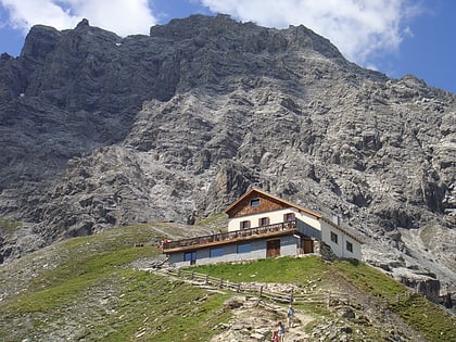
94 min walk • The Tabaretta hut is an alpine hut located in the municipality of Stelvio, in the village of Solda, in the Southern Rhaetian Alps, at 2556 m a.s.l. It is situated on the ridge of Mount Marlet, at the foot of the northeastern slope of Punta...
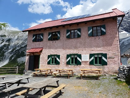 46°31'36"N • 10°30'50"E
Berglhütte - Rifugio Borletti, Stelvio National Park
60 min walk • Alpine hut, Hiking
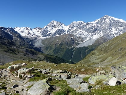 Natural attraction, Nature, Mountain
Monte Zebrù, Stelvio National Park
61 min walk • Monte Zebrù is a mountain of the Ortler Alps between Lombardy and South Tyrol, Italy.
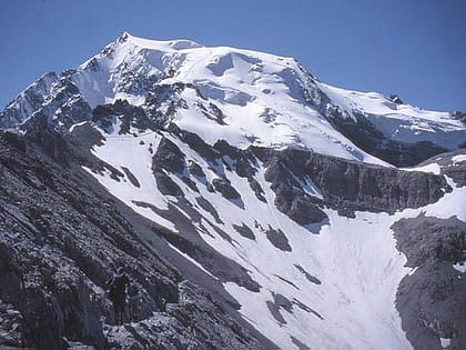 Natural feature
Southern Rhaetian Alps, Stelvio National Park
71 min walk • The Southern Rhaetian Alps are a mountain range in the southern part of the Alps.