Trek Zone

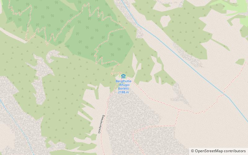
Berglhütte - Rifugio Borletti, Stelvio National Park

#20 among attractions in Stelvio National Park

Alpine hut, Hiking
Berglhütte - Rifugio Borletti

Facts and practical information

Berglhütte - Rifugio Borletti is a place located in Stelvio National Park (Trentino-South Tyrol autonomous region) and belongs to the category of alpine hut, hiking.

It is situated at an altitude of 7195 feet, and its geographical coordinates are 46°31'36"N latitude and 10°30'50"E longitude.

Among other places and attractions worth visiting in the area are: Payerhütte (alpine hut, 36 min walk), Tabarettahütte - Rifugio Tabaretta (alpine hut, 45 min walk), Ortler (natural attraction, 49 min walk).

Coordinates: 46°31'36"N, 10°30'50"E
Address

Stelvio National Park Italy

Contact
Social media
Add

Stelvio National Park plan & book

Unleash the traveler in you — discover the cheapest flight deals, find the perfect hotel or hostel nearby, and search for the best car rental prices. Travel at your own pace to discover new places and enjoy your journey.

Day trips

Berglhütte - Rifugio Borletti – popular in the area (distance from the attraction)

Nearby attractions include: Cima Coppi, Ortler, Piz da las Trais Linguas, Rifugio Quinto Alpini.

  • cima coppi stelvio national park location map
    2.6 miSW
  • ortler stelvio national park1.9 miSE
  • piz da las trais linguas stelvio national park2.9 miW
  • rifugio quinto alpini stelvio national park3.3 miS
  • gran zebru stelvio national park4.2 miSE
  • piz umbrail stelvio national park5 miW
  • tabarettahutte rifugio tabaretta stelvio national park1.8 miE
  • monte zebru stelvio national park2.6 miSE
  • southern rhaetian alps stelvio national park1.9 miSE
  • thurwieserspitze stelvio national park2.2 miS
  • southern limestone alps stelvio national park1.9 miSE

Where to next? Visit trentino south tyrol Trentino-South Tyrol region page or discover the top tourist attractions in Italy.