Piazza Dante, Pisa
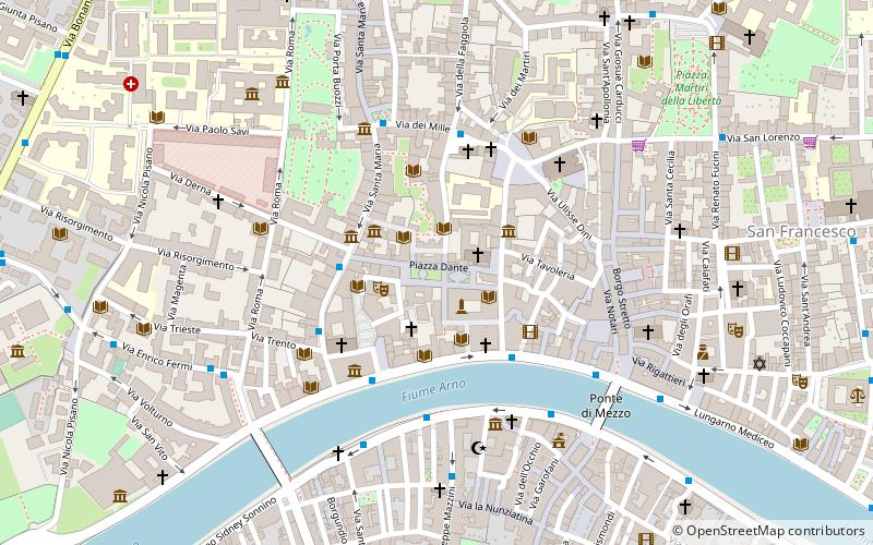
Map
Map

Facts and practical information
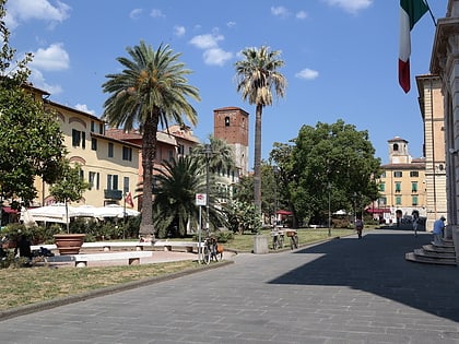
Piazza Dante is one of the most recently built squares in the city of Pisa, located in the medieval district of Santa Maria, on the right bank of the Arno River, and the result of a building thinning that took place in the early 20th century.
Coordinates: 43°43'4"N, 10°23'55"E
Day trips
Piazza Dante – popular in the area (distance from the attraction)
Nearby attractions include: Santa Maria della Spina, Orto botanico di Pisa, Palazzo Lanfreducci, Palazzo della Carovana.
Frequently Asked Questions (FAQ)
Which popular attractions are close to Piazza Dante?
Nearby attractions include Chiesa di San Frediano, Pisa (2 min walk), Sapienza, Pisa (2 min walk), Domus Galilaeana, Pisa (3 min walk), University of Pisa, Pisa (3 min walk).
How to get to Piazza Dante by public transport?
The nearest stations to Piazza Dante:
Bus
Train
Bus
- Santa Maria 2 • Lines: Navetta E - L.no Pacinotti - Par (3 min walk)
- Pacinotti 2 • Lines: 13, 2, 21, 4, 5, L/V (3 min walk)
Train
- Pisa Centrale (17 min walk)
- Pisa San Rossore (17 min walk)
