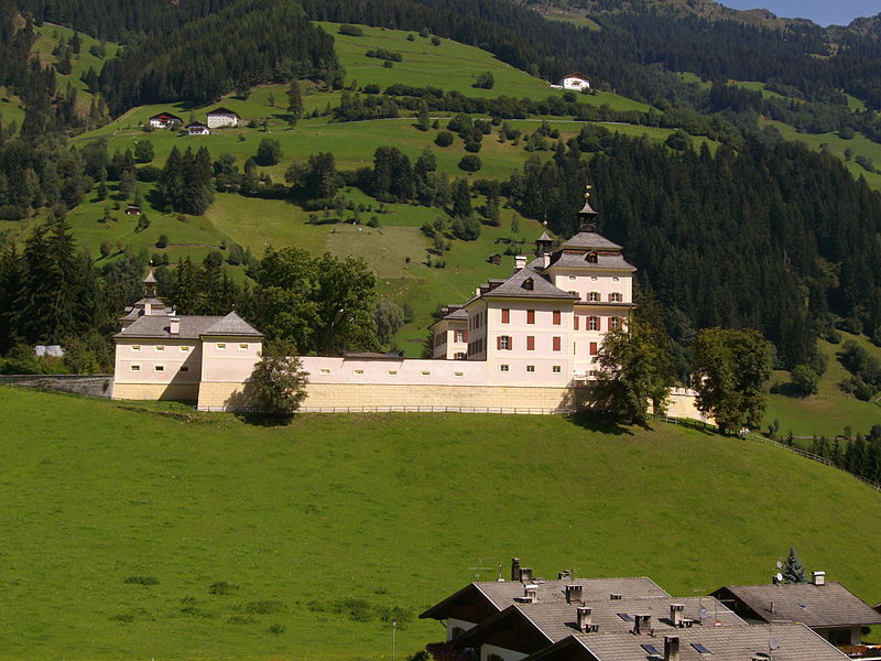
Schloss - Castello Wolfsthurn

Gallery (2)
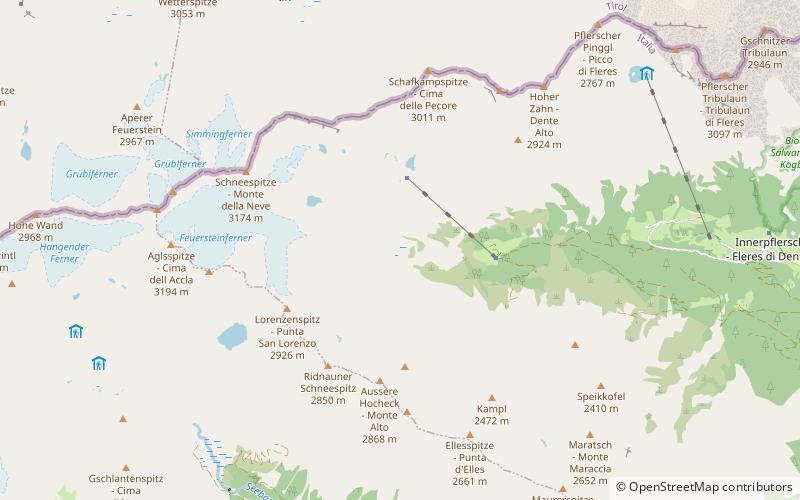
Map
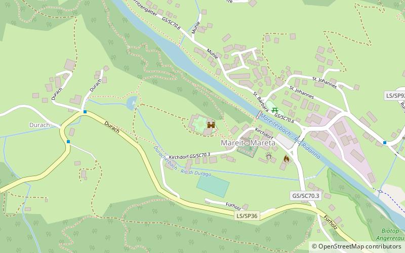
Map
Gallery
Facts and practical information
Wolfsthurn Castle or Mareta Castle is a Baroque-style castle located on a hill above Mareta, a village in the South Tyrolean hamlet of Ratschings. The castle has 365 windows.
Day trips