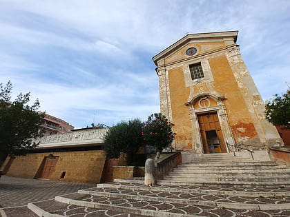
Balduina, Rome
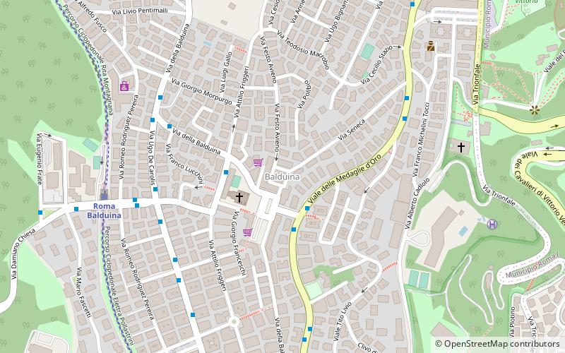
Map
Facts and practical information
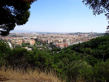
Balduina is an urban area that belongs to the Municipio XIX of the comune of Rome, and to the fourteenth borough of the city,. Situated at 139 metres above sea level on the southern side of Monte Mario, Balduina is the highest part of Rome. The population is 42,000. ()
Address
TrionfaleRome
ContactAdd
Social media
Add
Day trips
Balduina – popular in the area (distance from the attraction)
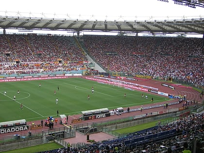
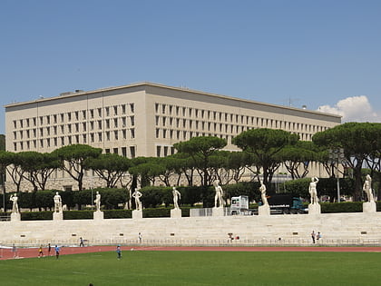
Nearby attractions include: Stadio Olimpico, Stadio Olimpico del Nuoto, Pinecone, Stadio dei Marmi.
Frequently Asked Questions (FAQ)
Which popular attractions are close to Balduina?
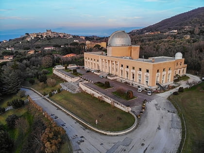
Nearby attractions include Pineto Regional Park, Rome (15 min walk), Monte Mario Observatory, Rome (16 min walk), Monte San Valentino, Rome (16 min walk), Rome Observatory, Rome (16 min walk).
How to get to Balduina by public transport?
The nearest stations to Balduina:
Bus
Train
Metro
Tram
Bus
- Medaglie d'Oro/Romagnoli • Lines: 913, 913L, n6 (2 min walk)
- Friggeri • Lines: 985 (3 min walk)
Train
- Roma Balduina (8 min walk)
- Appiano (16 min walk)
Metro
- Cipro • Lines: A (24 min walk)
- Ottaviano • Lines: A (29 min walk)
Tram
- Milizie/Angelico • Lines: 19 (27 min walk)
- Ottaviano • Lines: 19 (28 min walk)
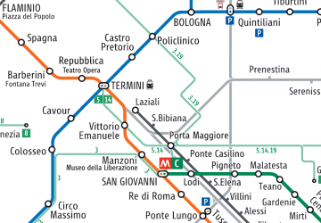 Metro / Tram / Rail