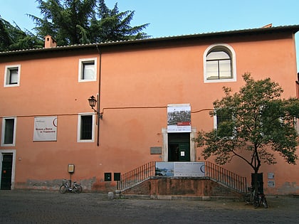
Aqua Alsietina, Rome
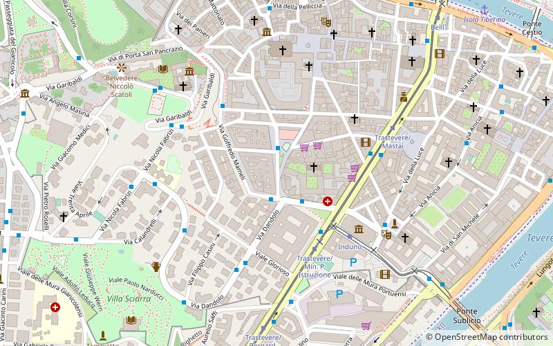
Map
Facts and practical information
In Ancient Rome, the Aqua Alsietina was the earlier of the two western Roman aqueducts, erected sometime around 2BC, during the reign of emperor Augustus. It was the only water supply for the Transtiberine region, on the right bank of the river Tiber. ()
Address
TrastevereRome
ContactAdd
Social media
Add
Day trips
Aqua Alsietina – popular in the area (distance from the attraction)
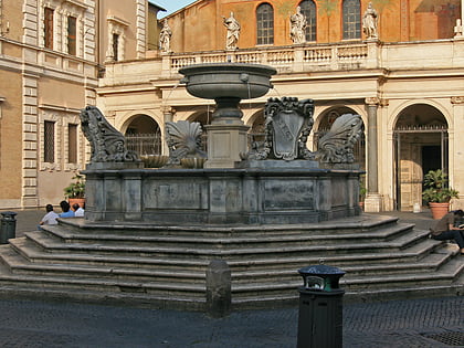
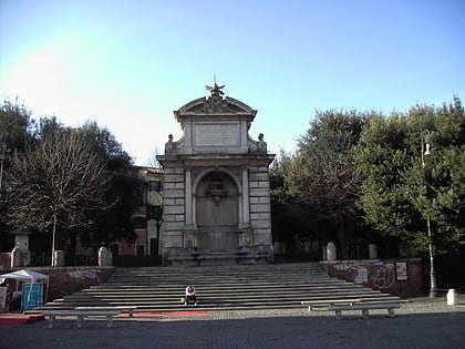
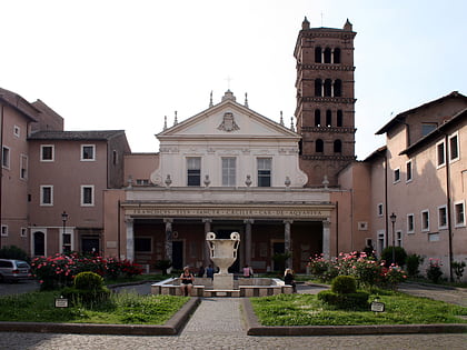
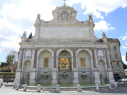
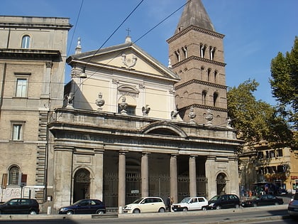
Nearby attractions include: Piazza di Santa Maria in Trastevere, Fontanone di Ponte Sisto, Santa Cecilia in Trastevere, Fontana dell'Acqua Paola.
Frequently Asked Questions (FAQ)
Which popular attractions are close to Aqua Alsietina?
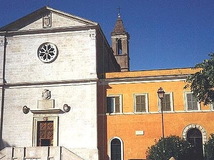
Nearby attractions include Chiesa di San Cosimato, Rome (2 min walk), Santa Maria in Trastevere, Rome (4 min walk), Baylon Cafè, Rome (4 min walk), San Callisto, Rome (5 min walk).
How to get to Aqua Alsietina by public transport?
The nearest stations to Aqua Alsietina:
Bus
Tram
Ferry
Train
Metro
Light rail
Bus
- Morosini E./Nuovo Regina Margherita • Lines: 115, 44, 44F, 75, n19 (2 min walk)
- Trastevere/Min. Pubblica Istruzione • Lines: 115, 3B, H, n19, n8 (4 min walk)
Tram
- Trastevere/Min. P. Istruzione • Lines: 8 (4 min walk)
- Induno • Lines: 8 (4 min walk)
Ferry
- Isola Tiberina • Lines: Battelli di Roma (11 min walk)
- Sant'Angelo • Lines: Battelli di Roma (27 min walk)
Train
- Quattro Venti (20 min walk)
- Roma Trastevere (26 min walk)
Metro
- Circo Massimo • Lines: B (26 min walk)
- Piramide • Lines: B (27 min walk)
Light rail
- Roma Porta San Paolo • Lines: Fc2 (26 min walk)
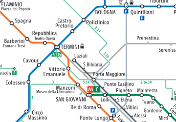 Metro / Tram / Rail