Quartiere Feltre, Milan
Map
Facts and practical information
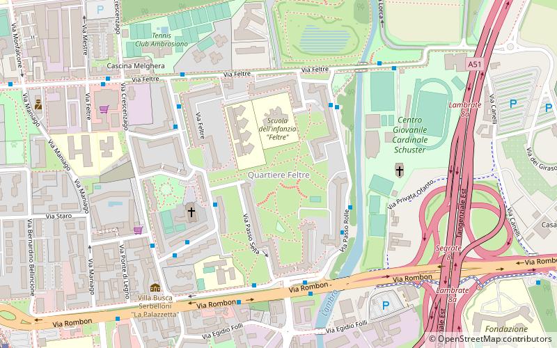
Quartiere Feltre is a residential district of Milan, Italy. It is located in the Zone 3 administrative division, extending east of the city centre, adjacent to the districts of Lambrate and Cimiano, the Lambro river and the Tangenziale Est ring road. It is named after Via Feltre, a large suburban street that connects Milan to the Parco Lambro city park. ()
Address
Zona 3 (Parco Lambro - Cimiano)Milan
ContactAdd
Social media
Add
Day trips
Quartiere Feltre – popular in the area (distance from the attraction)
Nearby attractions include: Orto Botanico Didattico Sperimentale dell'Università di Milano, Santi Re Magi, Politecnico di Milano, Mosque of Segrate.
Frequently Asked Questions (FAQ)
Which popular attractions are close to Quartiere Feltre?
Nearby attractions include Lambrate, Milan (18 min walk), Mosque of Segrate, Milan (19 min walk), Cimiano, Milan (22 min walk).
How to get to Quartiere Feltre by public transport?
The nearest stations to Quartiere Feltre:
Bus
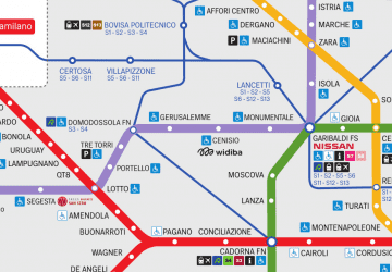
Metro
Tram
Train
Bus
- Via Pisani Dossi, 26 • Lines: 55, 55/ (3 min walk)
- Via Passo Rolle - Via Feltre • Lines: 55, 55/ (4 min walk)
Metro
- Udine • Lines: M2 (12 min walk)
- Lambrate FS • Lines: M2 (17 min walk)
Tram
- Rimembranze di Lambrate • Lines: 33 (13 min walk)
- Stazione Lambrate M2 • Lines: 19 (15 min walk)
Train
- Milano Lambrate (14 min walk)
- Cimiano (20 min walk)
 Metro
Metro