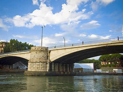
Lungotevere degli Anguillara, Rome
Map
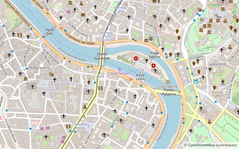
Map

Facts and practical information
Lungotevere degli Anguillara is the stretch of Lungotevere that links Piazza Giuseppe Gioachino Belli to Lungotevere degli Alberteschi in Rome, in the Rione Trastevere. ()
Address
TrastevereRome
ContactAdd
Social media
Add
Day trips
Lungotevere degli Anguillara – popular in the area (distance from the attraction)
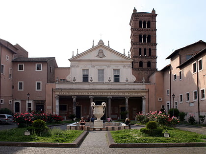
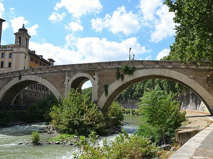
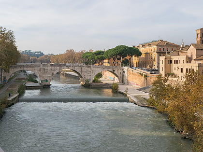
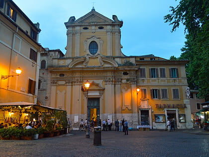
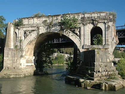
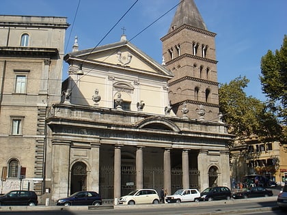
Nearby attractions include: Santa Cecilia in Trastevere, Ponte Fabricio, Ponte Cestio, Sant'Agata in Trastevere.
Frequently Asked Questions (FAQ)
Which popular attractions are close to Lungotevere degli Anguillara?
Nearby attractions include Santa Maria della Luce, Rome (2 min walk), Ponte Cestio, Rome (3 min walk), Tiber Island, Rome (3 min walk), Lungotevere degli Alberteschi, Rome (3 min walk).
How to get to Lungotevere degli Anguillara by public transport?
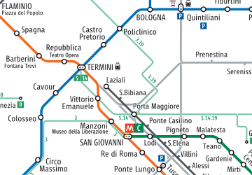
The nearest stations to Lungotevere degli Anguillara:
Ferry
Bus
Tram
Metro
Light rail
Train
Trolleybus
Ferry
- Isola Tiberina • Lines: Battelli di Roma (1 min walk)
- Sant'Angelo • Lines: Battelli di Roma (23 min walk)
Bus
- Giuseppe Gioachino Belli • Lines: H, n8 (2 min walk)
- Lgt Alberteschi • Lines: 23, 280, n11 (3 min walk)
Tram
- Belli • Lines: 8 (2 min walk)
- Trastevere/Mastai • Lines: 8 (6 min walk)
Metro
- Circo Massimo • Lines: B (20 min walk)
- Colosseo • Lines: B (21 min walk)
Light rail
- Roma Porta San Paolo • Lines: Fc2 (27 min walk)
Train
- Roma San Pietro (30 min walk)
- Quattro Venti (31 min walk)
Trolleybus
- XX Settembre/Min. Finanze • Lines: 90 (39 min walk)

 Metro / Tram / Rail