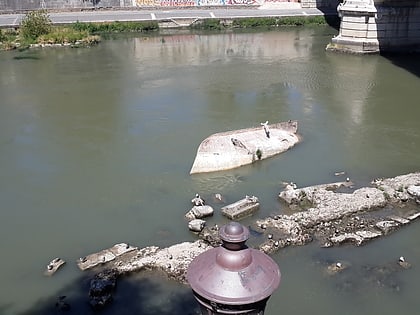
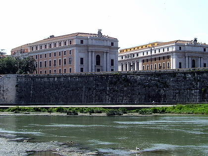
Porta Aurelia-Sancti Petri, Rome
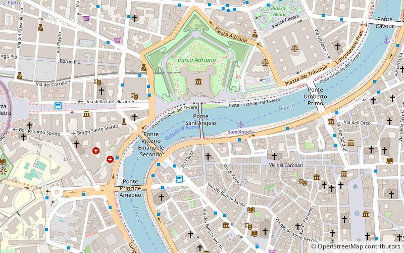
Map
Facts and practical information
The Porta Aurelia-Sancti Petri was one of the gates of the Aurelian walls in Rome. It was originally called the Porta Cornelia. ()
Address
PonteRome
ContactAdd
Social media
Add
Day trips
Porta Aurelia-Sancti Petri – popular in the area (distance from the attraction)
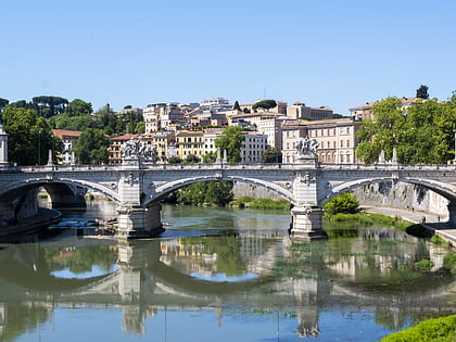
Nearby attractions include: Castel Sant'Angelo, Ponte Sant'Angelo, Ponte Umberto I, Ponte Vittorio Emanuele II.
Frequently Asked Questions (FAQ)
Which popular attractions are close to Porta Aurelia-Sancti Petri?
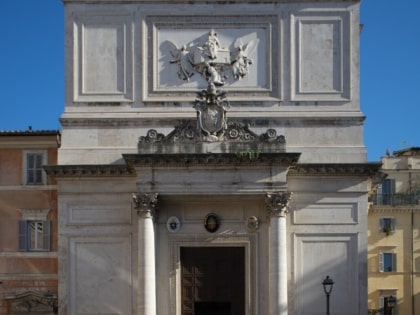
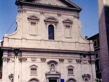
Nearby attractions include Ponte Sant'Angelo, Rome (1 min walk), Lungotevere degli Altoviti, Rome (2 min walk), Lungotevere Vaticano, Rome (2 min walk), Santi Celso e Giuliano, Rome (2 min walk).
How to get to Porta Aurelia-Sancti Petri by public transport?
The nearest stations to Porta Aurelia-Sancti Petri:
Ferry
Bus
Tram
Metro
Train
Light rail
Ferry
- Sant'Angelo • Lines: Battelli di Roma (3 min walk)
- Ponte Cavour (12 min walk)
Bus
- Lgt Tor di Nona/Rondella • Lines: 280 (3 min walk)
- Ponte Vittorio Emanuele • Lines: 190F, 34, 40, 46, 62, 64, 916, 916F, 982, n15, n20, n5 (3 min walk)
Tram
- Risorgimento/S. Pietro • Lines: 19 (14 min walk)
- Ottaviano • Lines: 19 (19 min walk)
Metro
- Lepanto • Lines: A (17 min walk)
- Ottaviano • Lines: A (18 min walk)
Train
- Roma San Pietro (19 min walk)
- Vatican City (21 min walk)
Light rail
- Flaminio • Lines: Fc3 (24 min walk)
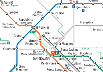 Metro / Tram / Rail

