Porta Nomentana, Nomentano
Map
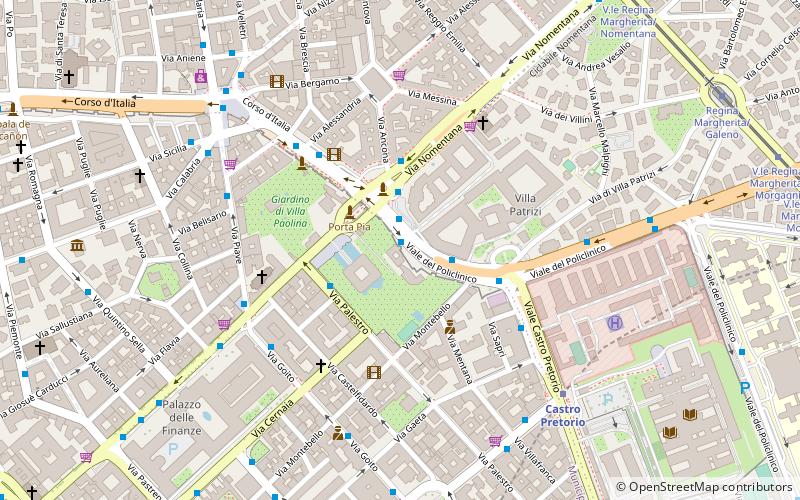
Map

Facts and practical information
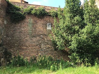
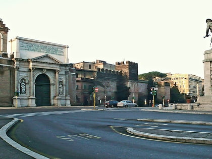
The Porta Nomentana was one of the gates in the Aurelian Walls of Rome, Italy. It is located along viale del Policlinico, around 70 m east of Porta Pia. It is now blocked and merely a boundary wall for the British Embassy. ()
Address
SallustianoNomentano
ContactAdd
Social media
Add
Day trips
Porta Nomentana – popular in the area (distance from the attraction)
Nearby attractions include: Via Veneto, National Roman Museum, Palazzo Barberini, National Roman Museum.
Frequently Asked Questions (FAQ)
Which popular attractions are close to Porta Nomentana?
Nearby attractions include Porta Pia, Rome (2 min walk), Castra Praetoria, Nomentano (5 min walk), Piazza dell'Indipendenza, Nomentano (8 min walk), MACRO, Rome (9 min walk).
How to get to Porta Nomentana by public transport?
The nearest stations to Porta Nomentana:
Bus
Trolleybus
Metro
Tram
Train
Light rail
Bus
- Porta Pia • Lines: 120F, 490, 495, 60, 61, 62, 66, 82, n4 (2 min walk)
- Croce Rossa • Lines: 120F, 490, 495, 61 (3 min walk)
Trolleybus
- Porta Pia • Lines: 90 (3 min walk)
- Volturno/Cernaia • Lines: 90 (8 min walk)
Metro
- Castro Pretorio • Lines: B (7 min walk)
- Termini • Lines: A, B (13 min walk)
Tram
- V.le Regina Margherita/Nomentana • Lines: 19, 3 (10 min walk)
- Regina Margherita/Galeno • Lines: 19, 3 (11 min walk)
Train
- Roma Termini (15 min walk)
Light rail
- Roma Termini • Lines: Fl6, Fl7 (15 min walk)
- Termini Laziali • Lines: Fc1 (22 min walk)
