Lungotevere Marzio, Rome
Map
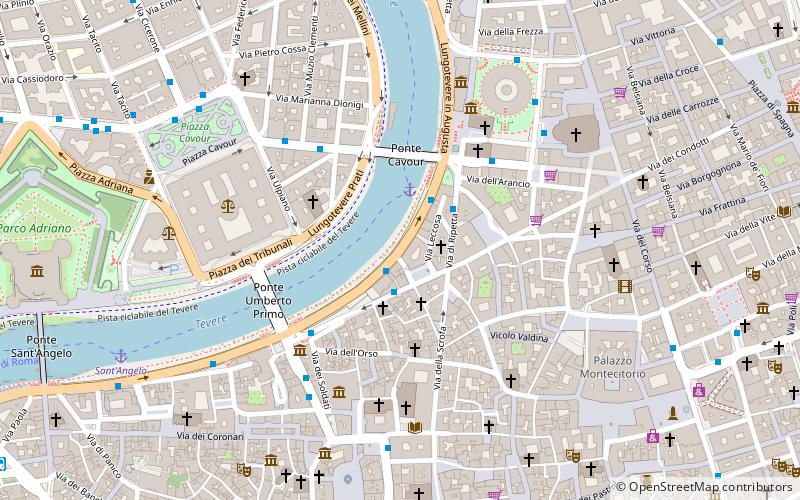
Map

Facts and practical information
Lungotevere Marzio is the stretch of lungotevere in Rome, Italy, that connects Piazza di Ponte Umberto I with Piazza del Porto di Ripetta, in the rioni Campo Marzio and Ponte. ()
Address
Campo MarzioRome
ContactAdd
Social media
Add
Day trips
Lungotevere Marzio – popular in the area (distance from the attraction)
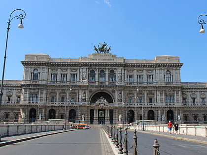
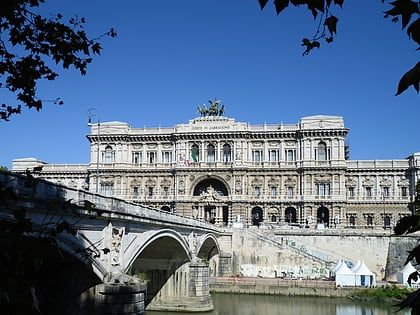
Nearby attractions include: Ara Pacis, Palazzo Altemps, Palace of Justice, Ponte Umberto I.
Frequently Asked Questions (FAQ)
Which popular attractions are close to Lungotevere Marzio?
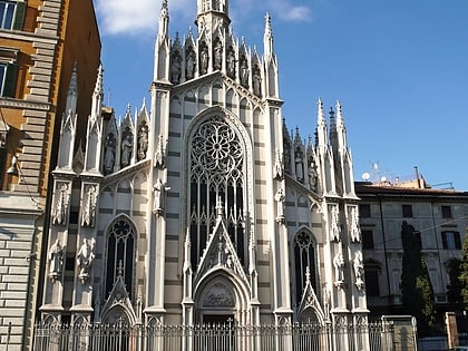
Nearby attractions include Fontana di Piazza Nicosia, Rome (1 min walk), Sant'Ivo dei Bretoni, Rome (2 min walk), Museo delle anime del Purgatorio, Rome (2 min walk), Lungotevere Prati, Rome (3 min walk).
How to get to Lungotevere Marzio by public transport?
The nearest stations to Lungotevere Marzio:
Bus
Ferry
Metro
Tram
Light rail
Train
Trolleybus
Bus
- Lgt Marzio • Lines: 280, 492, 628, 70, 81, 87, n6, n7 (1 min walk)
- Monte Brianzo • Lines: 492, 628, 70, 81, 87, C3, n7 (2 min walk)
Ferry
- Ponte Cavour (2 min walk)
- Sant'Angelo • Lines: Battelli di Roma (9 min walk)
Metro
- Spagna • Lines: A (15 min walk)
- Flaminio • Lines: A (17 min walk)
Tram
- Flaminio • Lines: 2 (16 min walk)
- Arenula/Cairoli • Lines: 8 (18 min walk)
Light rail
- Flaminio • Lines: Fc3 (18 min walk)
Train
- Roma San Pietro (29 min walk)
Trolleybus
- XX Settembre/Min. Finanze • Lines: 90 (30 min walk)

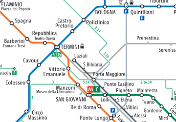 Metro / Tram / Rail

