Via di Ripetta, Rome
Map
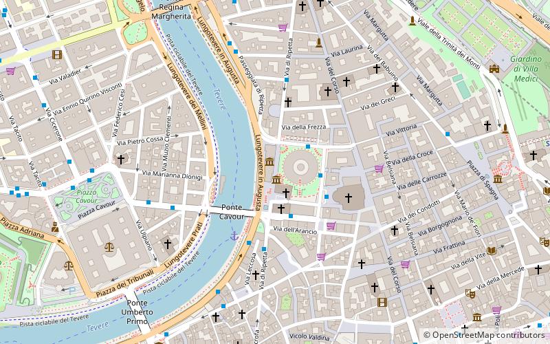
Map

Facts and practical information
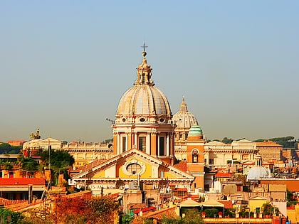
Via di Ripetta, also called Via Ripetta, is a street in the historic centre of Rome, in the rione Campo Marzio, that links Piazza del Popolo to Via del Clementino and, with other toponyms, reaches the church of Sant'Ivo alla Sapienza, on the back of Piazza Sant'Eustachio and close to the Pantheon. It is part of the complex of streets known as Tridente. ()
Address
Campo MarzioRome
ContactAdd
Social media
Add
Day trips
Via di Ripetta – popular in the area (distance from the attraction)
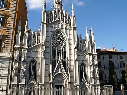
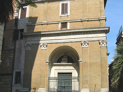
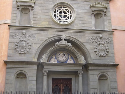
Nearby attractions include: Ara Pacis, Sacro Cuore del Suffragio, Mausoleum of Augustus, San Rocco.
Frequently Asked Questions (FAQ)
Which popular attractions are close to Via di Ripetta?
Nearby attractions include Museo dell'Ara Pacis, Rome (1 min walk), Ara Pacis, Rome (1 min walk), San Rocco, Rome (1 min walk), Mausoleum of Augustus, Rome (2 min walk).
How to get to Via di Ripetta by public transport?
The nearest stations to Via di Ripetta:
Bus
Ferry
Tram
Metro
Light rail
Trolleybus
Train
Bus
- Augusto Imperatore/Ara Pacis • Lines: 628, C3, n25 (2 min walk)
- Tomacelli • Lines: 301, 628, 913, C3 (2 min walk)
Ferry
- Ponte Cavour (4 min walk)
- Sant'Angelo • Lines: Battelli di Roma (13 min walk)
Tram
- Flaminio • Lines: 2 (12 min walk)
- Azuni/Min. Marina • Lines: 19 (17 min walk)
Metro
- Spagna • Lines: A (12 min walk)
- Flaminio • Lines: A (13 min walk)
Light rail
- Flaminio • Lines: Fc3 (13 min walk)
Trolleybus
- XX Settembre/Min. Finanze • Lines: 90 (28 min walk)
Train
- Roma San Pietro (33 min walk)

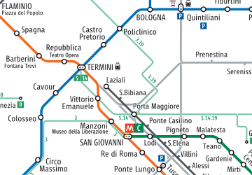 Metro / Tram / Rail
