Gronda lagunare, Venice
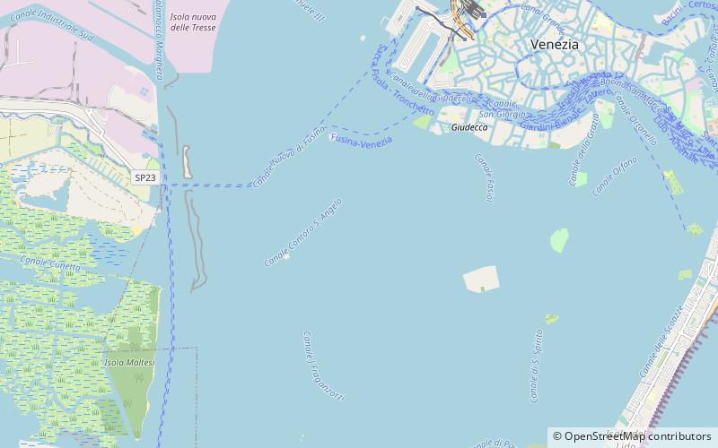
Map
Facts and practical information
Gronda lagunare is a term used to indicate the area of the Lagoon of Venice by its mainland shore. The term is derived from the fact that it receives the waters from the rivers and streams which flow into the lagoon from the drainage basin of the plain of the mainland by the lagoon. It is also reached by the tidal flows form he sea. it is meant to be a belt that forms a transition area between the open lagoon and the mainland. ()
Address
Venice
ContactAdd
Social media
Add
Day trips
Gronda lagunare – popular in the area (distance from the attraction)
Nearby attractions include: Palazzo Giustinian Recanati, Palazzo Barbarigo, Palazzo Clary, Palazzo Ariani.
Frequently Asked Questions (FAQ)
How to get to Gronda lagunare by public transport?
The nearest stations to Gronda lagunare:
Ferry
Ferry
- Sacca Fisola • Lines: 2 (37 min walk)
- Molino Stucky • Lines: B (40 min walk)


