Leopoldino aqueduct, Livorno
Map

Map

Facts and practical information
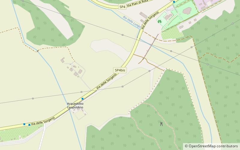
The Acquedotto Leopoldino and the neoclassical cisterns of Livorno were part of a sophisticated scheme to not only provide water to Livorno, but also clean it. The scheme was centred on the 18 km long aqueduct which runs south to north bringing water to the city from Colognole. This feat of engineering first carried water to the city in 1816, long before its completion. It was Livorno's sole water supply until 1912, still serving some areas of the city. ()
Address
Livorno
ContactAdd
Social media
Add
Day trips
Leopoldino aqueduct – popular in the area (distance from the attraction)
Nearby attractions include: Fortezza Vecchia, Mercato Centrale, Teatro La Gran Guardia, Fortezza Nuova.
Frequently Asked Questions (FAQ)
How to get to Leopoldino aqueduct by public transport?
The nearest stations to Leopoldino aqueduct:
Bus
Bus
- Via Verga • Lines: 10 (30 min walk)
- Via Aiaccia Via Umbria • Lines: 10 (31 min walk)


