Ponte della Magliana, Rome
Map
Map

Facts and practical information
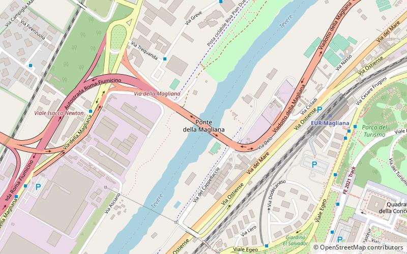
Ponte della Magliana is a motorway bridge in Rome. It crosses the Tiber between Pian due Torri and Via del Cappellaccio, linking the Quartieri Portuense and Ostiense, respectively on the right and on the left of the river. It is currently part of a larger viaduct, which continues on the right bank of the Tiber towards the Colli Portuensi urban zone and the highway to the Fiumicino Airport and on the left one towards the EUR district, the Tre Fontane urban zone and Via Laurentina. ()
Address
MaglianaRome
ContactAdd
Social media
Add
Day trips
Ponte della Magliana – popular in the area (distance from the attraction)
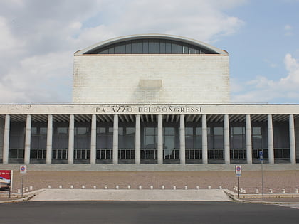
Nearby attractions include: LunEur, Palazzo della Civiltà Italiana, PalaLottomatica, Palazzo dei Congressi.
Frequently Asked Questions (FAQ)
Which popular attractions are close to Ponte della Magliana?
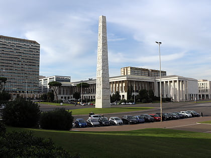
Nearby attractions include Basilica dei Santi Pietro e Paolo, Rome (10 min walk), Palazzo della Civiltà Italiana, Rome (11 min walk), EUR, Rome (13 min walk), Marconi Obelisk, Rome (20 min walk).
How to get to Ponte della Magliana by public transport?
The nearest stations to Ponte della Magliana:
Bus
Light rail
Metro
Train
Bus
- Greve/Trequanda • Lines: 775 (5 min walk)
- Magliana/Imbrecciato • Lines: 128, 771, 775, C7 (7 min walk)
Light rail
- EUR Magliana • Lines: Fc2 (7 min walk)
- Basilica San Paolo • Lines: Fc2 (40 min walk)
Metro
- EUR Magliana • Lines: B (8 min walk)
- EUR Palasport • Lines: B (20 min walk)
Train
- Villa Bonelli (16 min walk)

 Metro / Tram / Rail

