Castro Pretorio, Nomentano
Map
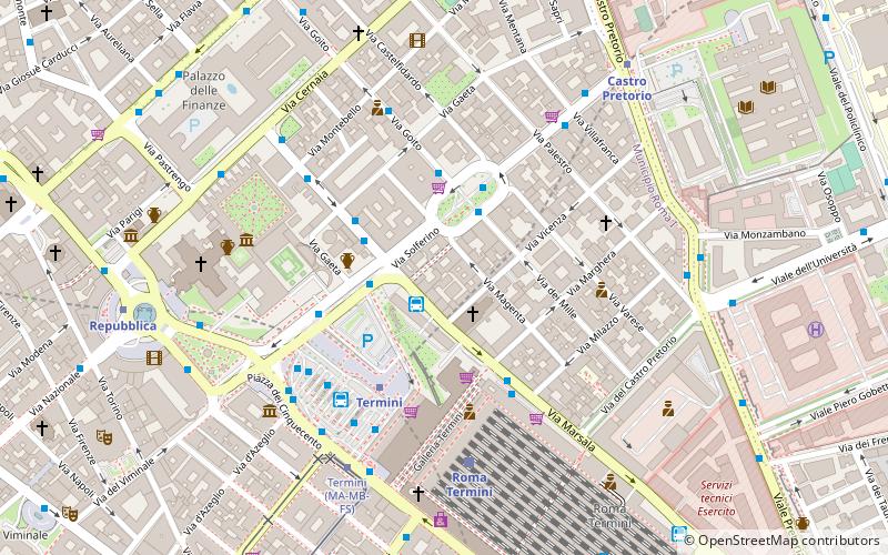
Map

Facts and practical information
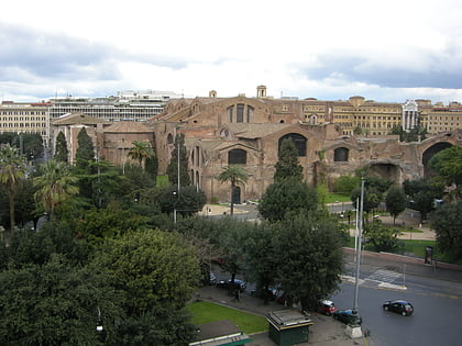
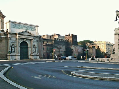
Castro Pretorio is the 18th rione of Rome, identified by the initials R. XVIII, and it is located within the Municipio I. The rione takes its name by the ruins of the Castrum Praetorium, the barracks of the Praetorian Guard, included in the Aurelian Walls. ()
Address
Castro PretorioNomentano
ContactAdd
Social media
Add
Day trips
Castro Pretorio – popular in the area (distance from the attraction)
Nearby attractions include: Via Veneto, National Roman Museum, Santa Maria Maggiore, Palazzo Barberini.
Frequently Asked Questions (FAQ)
Which popular attractions are close to Castro Pretorio?
Nearby attractions include Sacro Cuore di Gesù a Castro Pretorio, Rome (2 min walk), Piazza dell'Indipendenza, Nomentano (3 min walk), Servian Wall, Nomentano (3 min walk), Baths of Diocletian, Rome (6 min walk).
How to get to Castro Pretorio by public transport?
The nearest stations to Castro Pretorio:
Bus
Metro
Train
Light rail
Trolleybus
Tram
Bus
- Sit Bus for Rome's Airports (1 min walk)
- Termini • Lines: 75, n2;nMB, n2L (2 min walk)
Metro
- Termini • Lines: A, B (4 min walk)
- Castro Pretorio • Lines: B (8 min walk)
Train
- Roma Termini (5 min walk)
Light rail
- Roma Termini • Lines: Fl6, Fl7 (5 min walk)
- Termini Laziali • Lines: Fc1 (13 min walk)
Trolleybus
- Volturno/Cernaia • Lines: 90 (6 min walk)
- XX Settembre/Min. Finanze • Lines: 90 (9 min walk)
Tram
- Termini • Lines: 14, 5 (6 min walk)
- Farini • Lines: 14, 5 (10 min walk)
