Castello di Lunghezza, Rome
Map

Map

Facts and practical information
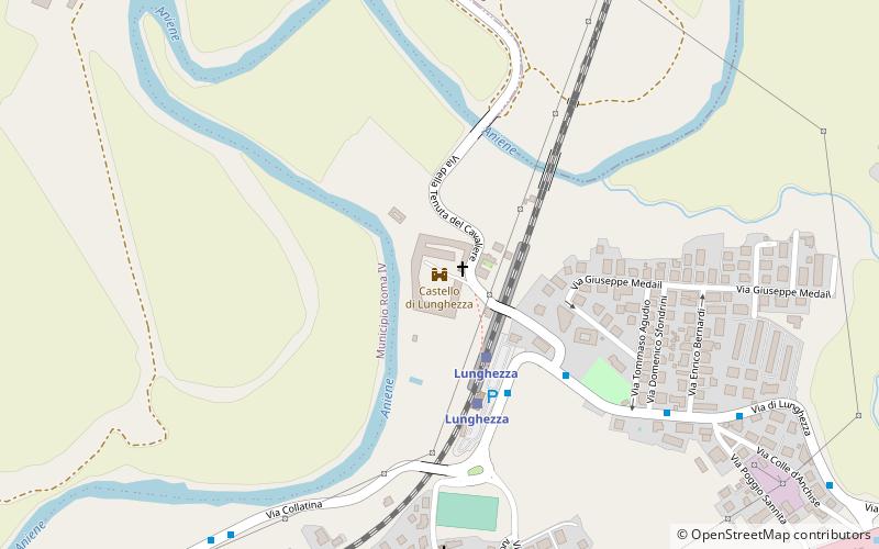
The Castello di Lunghezza is a medieval fortification situated roughly 20 kilometers east of Rome, Italy. It lies in Municipio VIII of Rome, and probably sits on the site of the ancient town of Collatia. ()
Address
Rome
ContactAdd
Social media
Add
Day trips
Castello di Lunghezza – popular in the area (distance from the attraction)
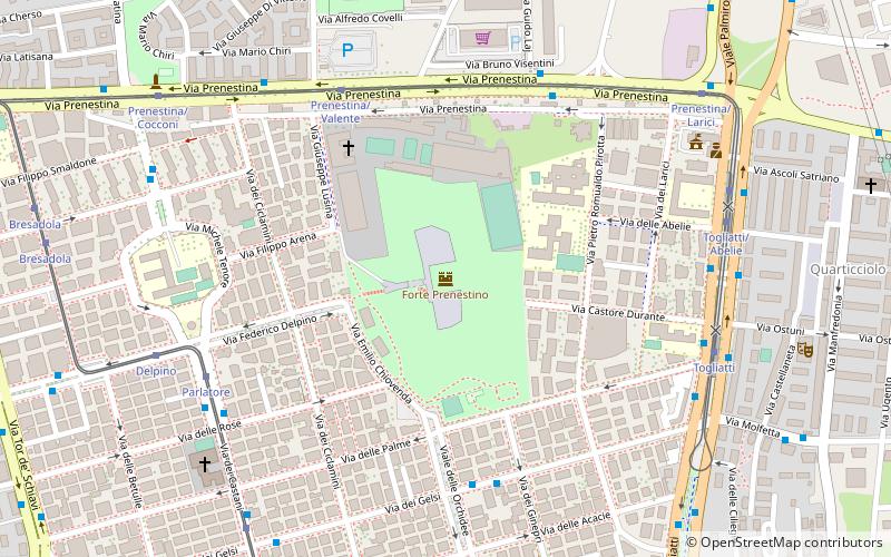
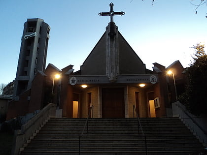
Nearby attractions include: Marco Simone Golf and Country Club, Jubilee Church, Chiesa di San Giustino, CSOA Forte Prenestino.
Frequently Asked Questions (FAQ)
How to get to Castello di Lunghezza by public transport?
The nearest stations to Castello di Lunghezza:
Train
Bus
Train
- Lunghezza (3 min walk)
- Ponte Di Nona (20 min walk)
Bus
- Staz.ne Lunghezza • Lines: 042, 042P, 051, 055, 314 (4 min walk)
- Lunghezza/Tenuta Cavaliere • Lines: 040, 041F, 042, 042P, 051, 055, 314 (5 min walk)

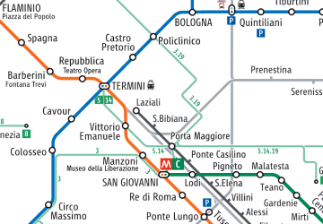
 Metro / Tram / Rail


