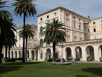
Campo Pio XI, Rome
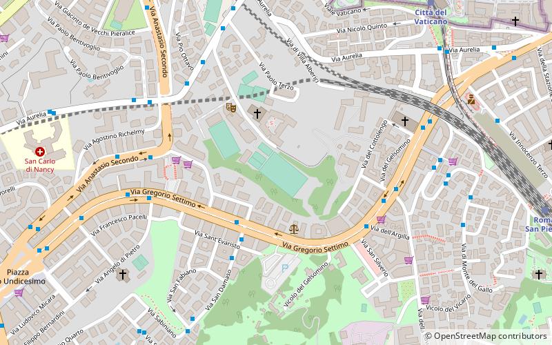
Map
Facts and practical information
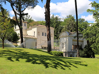
Campo Pio XI is an association football stadium in Rome, Italy. The stadium hosts all of Vatican City's football activities, including the Vatican City Championship, the Clericus Cup, and the Vatican City national football teams. It is also home to the Petriana Calcio, an amateur youth multi-sport club. ()
Address
TrionfaleRome
ContactAdd
Social media
Add
Day trips
Campo Pio XI – popular in the area (distance from the attraction)
Nearby attractions include: St. Peter's Basilica, Sistine Chapel, Vatican Necropolis, Cappella Paolina.
Frequently Asked Questions (FAQ)
Which popular attractions are close to Campo Pio XI?
Nearby attractions include San Gregorio VII, Rome (6 min walk), Porta Pertusa, Rome (8 min walk), Saint John's Tower, Rome (9 min walk), Grotta di Lourdes, Rome (11 min walk).
How to get to Campo Pio XI by public transport?
The nearest stations to Campo Pio XI:
Bus
Train
Metro
Tram
Ferry
Bus
- Gregorio VII/S. Damaso • Lines: 190F, 881, 916, 916F, 98, n15, n20 (3 min walk)
- S. Damaso/S. Evaristo • Lines: 982 (4 min walk)
Train
- Vatican City (10 min walk)
- Roma San Pietro (12 min walk)
Metro
- Valle Aurelia • Lines: A (13 min walk)
- Baldo degli Ubaldi • Lines: A (18 min walk)
Tram
- Risorgimento/S. Pietro • Lines: 19 (23 min walk)
- Ottaviano • Lines: 19 (28 min walk)
Ferry
- Sant'Angelo • Lines: Battelli di Roma (31 min walk)
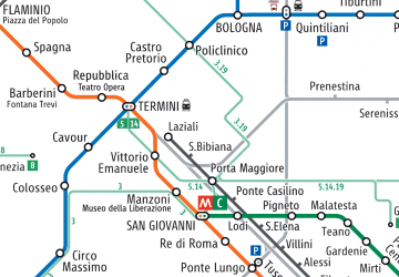 Metro / Tram / Rail


