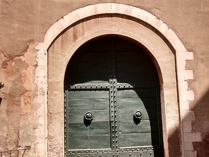
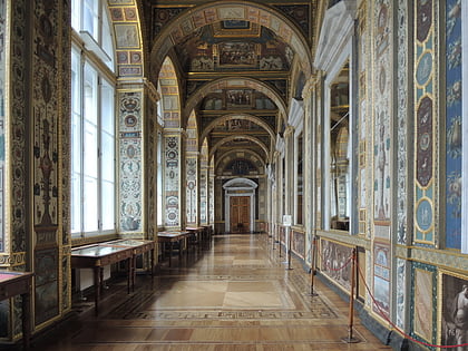
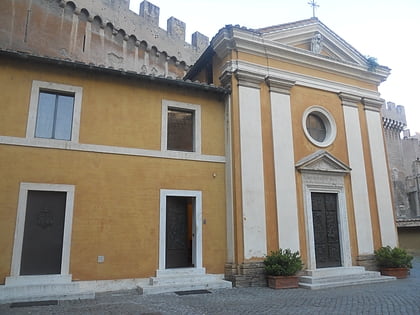
Scala Regia, Rome
Map
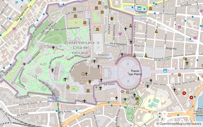
Map

Facts and practical information
Scala Regia is a flight of steps in the Vatican City and is part of the formal entrance to the Vatican. It was designed by Gian Lorenzo Bernini. ()
Address
Stato della Città del VaticanoRome
ContactAdd
Social media
Add
Day trips
Scala Regia – popular in the area (distance from the attraction)
Nearby attractions include: St. Peter's Square, Vatican Museums, Borgia Apartments, Apostolic Palace.
Frequently Asked Questions (FAQ)
Which popular attractions are close to Scala Regia?
Nearby attractions include Sala Regia, Rome (1 min walk), Cappella Paolina, Rome (1 min walk), Sistine Chapel, Rome (1 min walk), Paul VI Audience Hall, Rome (2 min walk).
How to get to Scala Regia by public transport?
The nearest stations to Scala Regia:
Bus
Train
Tram
Metro
Ferry
Light rail
Bus
- Cavalleggeri/S. Pietro • Lines: 190F, 34, 46, 64, 881, 916, 916F, 98, 982, n15, n20, n5 (5 min walk)
- Cavalleggeri/Fornaci • Lines: 64 (6 min walk)
Train
- Vatican City (7 min walk)
- Roma San Pietro (12 min walk)
Tram
- Risorgimento/S. Pietro • Lines: 19 (8 min walk)
- Ottaviano • Lines: 19 (13 min walk)
Metro
- Ottaviano • Lines: A (13 min walk)
- Cipro • Lines: A (13 min walk)
Ferry
- Sant'Angelo • Lines: Battelli di Roma (18 min walk)
- Ponte Cavour (26 min walk)
Light rail
- Flaminio • Lines: Fc3 (34 min walk)

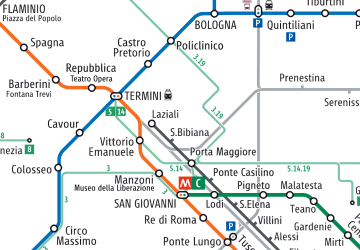 Metro / Tram / Rail


