Pizzo Badile Camuno
#626 among destinations in Italy


Facts and practical information
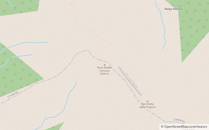
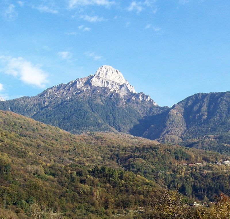
Pizzo Badile Camuno is a mountain of Lombardy, Italy. It has an elevation of 2,435 metres. ()
LombardyItaly
Pizzo Badile Camuno – popular in the area (distance from the attraction)
Nearby attractions include: Pieve of Saint Syrus, Lago della Vacca, Rifugio Tita Secchi, Rock Drawings in Valcamonica.
 Church
Pieve of Saint Syrus, Capo di Ponte
87 min walk • The Pieve of Saint Syrus is a church in the village of Cemmo, a frazione of Capo di Ponte, at 410 meters above sea level. It was one of the pievi, or isolated churches with baptistries, among which the territory of Val Camonica was divided.
 Nature, Natural attraction, Lake
Lago della Vacca
101 min walk • Lago della Vacca, a serene alpine gem nestled in the Italian Alps, is a testament to nature's sublime artistry. This tranquil lake, situated at an altitude of over 2,000 meters, offers a peaceful retreat from the hustle and bustle of modern life.
 Hiking, Alpine hut
Rifugio Tita Secchi, Breno
107 min walk • The Tita Secchi refuge is an alpine refuge located in the municipality of Breno, in Val Camonica, at 2,367 m a.s.l. It rises at the foot of the south face of Cornone di Blumone, near Lake della Vacca, within the Adamello Regional Park.

2.9 miNW , ParkRock Drawings in Valcamonica, Rock art Natural reserve of Ceto,Cimbergo e Paspardo
73 min walk • The rock drawings in Valcamonica are located in the Province of Brescia, Italy, and constitute the largest collections of prehistoric petroglyphs in the world.
 Nature, Natural attraction, Mountain
Monte Frerone
107 min walk • Monte Frerone is a mountain of Lombardy, Italy, It has an elevation of 2673 metres.
 Nature, Natural attraction, Mountain
Monte Re di Castello
104 min walk • Monte Re di Castello is a mountain of Lombardy, Italy. It has an elevation of 2,889 metres above sea level.
 Monastery, Architecture, Sacred and religious sites
Monastery of San Salvatore, Capo di Ponte
84 min walk • Monastero di San Salvatore is located on the left bank of the Oglio river, in the municipality of Capo di Ponte in Val Camonica, Italy. Established at the end of the 11th century, it was the first and only Cluniac priory in Val Camonica. The monastery is an important example of early medieval Romanesque architecture.
 Church
Church of Santa Maria Assunta, Capo di Ponte
87 min walk • Santa Maria Assunta is a church in the north-west of Esine, in the province of Brescia, northern Italy, listed as national monument. The building was originally constructed around 1480, and initially had a gabled façade with a round window, replaced by the current structure in 1776.
 Museum
Santuario della "Via Crucis"
95 min walk • The shrine of the Way of the Cross is a building located next to the parish church in Cerveno, Val Camonica, containing an 18th-century wooden Way of the Cross.
 46°0'43"N • 10°21'10"E
Riserva naturale Incisioni rupestri di Ceto, Ceto
61 min walk • Historic walking areas, Nature and wildlife, Park
 Church
Chiesa delle Sante Faustina e Liberata, Capo di Ponte
77 min walk • The church of Saints Faustina and Liberata is located on the left side of the Oglio River in the municipality of Capo di Ponte in Valcamonica.
