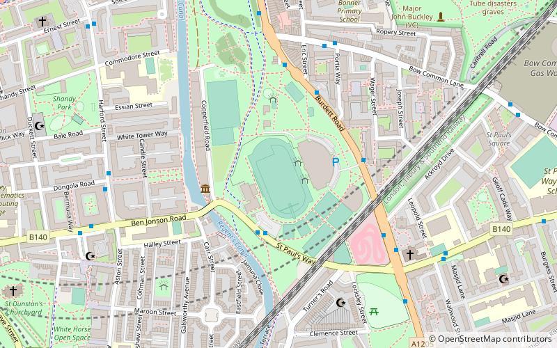
Mile End Stadium, London
Map

Map

Facts and practical information
Mile End Stadium, also known as the East London Stadium, is a multi-sports stadium in Mile End and situated in the park of the same name, East London, England. The stadium comprises an athletics stadium and a number of floodlit Astroturf football pitches, tennis and netball courts. ()
Opened: 1990 (36 years ago)Capacity: 2000Coordinates: 51°31'9"N, 0°2'1"W
Day trips
Mile End Stadium – popular in the area (distance from the attraction)
Nearby attractions include: Limehouse Basin, The Grapes, Museum of London Docklands, The Guardian Angels Church.
Frequently Asked Questions (FAQ)
Which popular attractions are close to Mile End Stadium?
Nearby attractions include Ragged School Museum, London (3 min walk), Mile End Park, London (8 min walk), Salmon Lane Lock, London (8 min walk), St Dunstan's, London (10 min walk).
How to get to Mile End Stadium by public transport?
The nearest stations to Mile End Stadium:
Bus
Metro
Train
Light rail
Ferry
Bus
- Copperfield Road • Lines: 309 (3 min walk)
- Mile End Park Leisure Centre • Lines: 277, D6, N277 (3 min walk)
Metro
- Mile End • Lines: Central, District, Hammersmith & City (11 min walk)
- Stepney Green • Lines: District, Hammersmith & City (16 min walk)
Train
- Limehouse (13 min walk)
- Shadwell (30 min walk)
Light rail
- Limehouse Platform 3 • Lines: B-L, B-Wa, Tg-B (14 min walk)
- Westferry Platform 2 • Lines: B-L, B-Wa, Tg-B (18 min walk)
Ferry
- Canary Wharf • Lines: Rb1, Rb1X, Rb4, Rb6 (26 min walk)
- Doubletree Docklands Nelson Dock • Lines: Rb4 (26 min walk)

 Tube
Tube


