Danescourt, Wolverhampton
Map
Facts and practical information
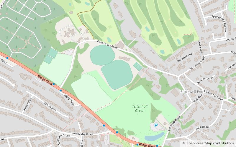
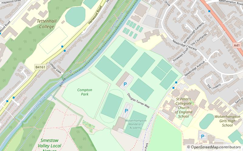
Danescourt is a cricket ground in Wolverhampton, Staffordshire. The ground is located along the Danescourt Road, off of the A41 Road. It has played host to a Women's One Day International, in addition to playing host to Staffordshire County Cricket Club in minor counties cricket. ()
Coordinates: 52°36'9"N, 2°10'16"W
Address
Tettenhall RegisWolverhampton
ContactAdd
Social media
Add
Getting there by public transportation
Public transportation stops near this location
- Bus
 Bus
Bus
- Calculate routeWergs Rd / Wrottesley Rd 5 min walk
- Calculate routeWergs Rd / Danescourt Rd 5 min walk
- Calculate routeWergs Rd / Regis Rd 7 min walk
- Calculate routeRegis Rd / The Poynings 7 min walk
Day trips


Frequently Asked Questions (FAQ)
Which popular attractions are close to Danescourt?
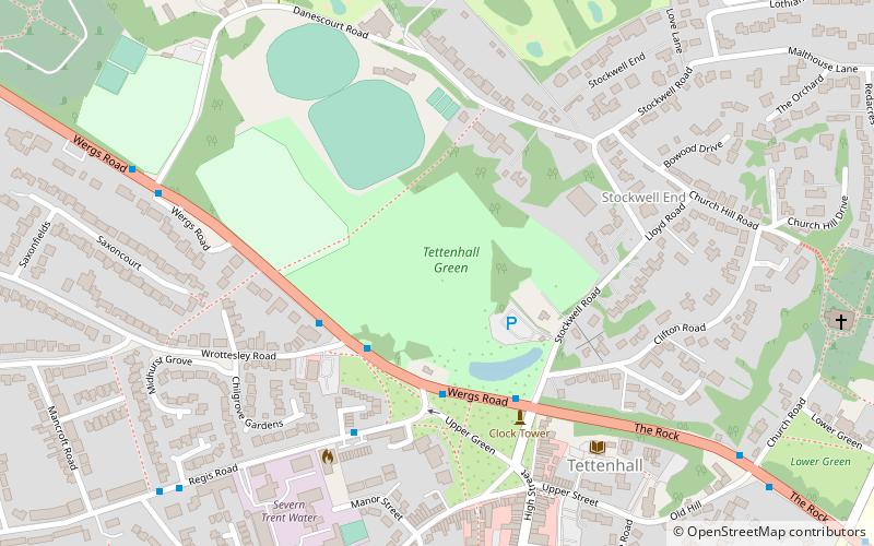
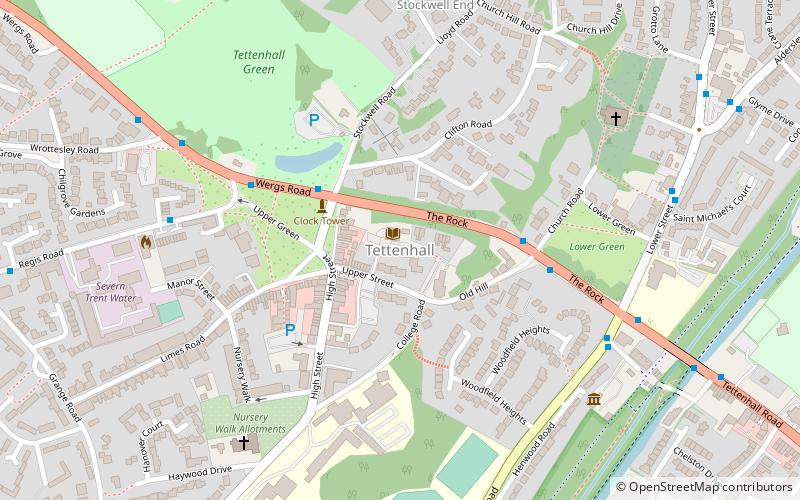
Nearby attractions include Tettenhall Green, Wolverhampton (4 min walk), Tettenhall, Wolverhampton (9 min walk).
How to get to Danescourt by public transport?
The nearest stations to Danescourt:
Bus
Bus
- Wergs Rd / Wrottesley Rd • Lines: 763, 784, 891 (5 min walk)
- Wergs Rd / Danescourt Rd • Lines: 891 (5 min walk)