Pittsburgh: Street
Places and attractions in the Street category
Categories
- Museum
- Bridge
- Park
- Church
- Art museum
- Theater
- Neighbourhood
- Gothic Revival architecture
- Concerts and shows
- Art gallery
- Specialty museum
- Shopping
- History museum
- Library
- Skyscraper
- Modern art museum
- Sport
- Sport venue
- Nightlife
- Shopping centre
- Historical place
- Monuments and statues
- Street
- Outdoor activities
- Romanesque architecture
- Music venue
- Performing arts
- Golf
- Arenas and stadiums
- Romanesque revival architecture
- Concert hall
- Cinema
- Cemetery
- Tower
- Music and shows
- Entertainment district
- Beaux-Arts architecture
- Greek Revival architecture
- Universities and schools
- Neo-renaissance architecture
- Italianate architecture
Canton Avenue
Canton Avenue is a street in Pittsburgh, Pennsylvania's Beechview neighborhood which is the steepest officially recorded public street in the United States. Canton Avenue is 630 ft long and is claimed to include a 37% grade 21 feet long.
Fort Pitt Boulevard
Fort Pitt Boulevard is a road in Pittsburgh on the southern area of Downtown, connecting Fort Pitt Bridge and Interstate 376.
Butler Street
Butler Street is a street in Pittsburgh, Pennsylvania which is the main commercial thoroughfare of the Lawrenceville neighborhood.
Forbes Avenue
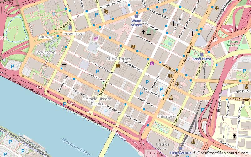
Forbes Avenue is one of the longest streets in Pittsburgh, Pennsylvania, United States. It runs along an east–west route for a length of approximately 7 mi.
Grant Street
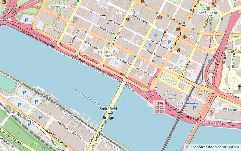
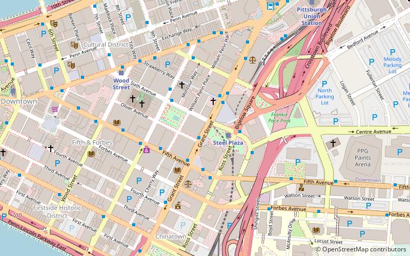
Grant Street is the main government and business corridor in Pittsburgh, Pennsylvania. It is home to the global headquarters of U.S. Steel, Koppers Chemicals, and Oxford Development. It also is home to the seat of Allegheny County, City of Pittsburgh and the regional Federal Government offices.
Brownsville Road
Brownsville Road is a road between Pittsburgh, at Eighteenth Street and South Avenue in Allegheny County, Pennsylvania eastwards through Mount Oliver and generally highlands situated along or near the hilltops often overlooking the Monongahela River.
Liberty Avenue
Liberty Avenue is a major thoroughfare starting in downtown Pittsburgh, Pennsylvania, United States, just outside Point State Park.
Roslyn Place
Roslyn Place is a small wooden-paved cul-de-sac located in the Shadyside neighborhood of Pittsburgh, Pennsylvania. The street was built in 1914 in the Nicolson Pavement style and is home to the historic Roslyn Place district.
Fourth Avenue
Fourth Avenue is a street in downtown Pittsburgh. Some of the structures that Fourth Avenue boasts include: Pittsburgh City County Building Allegheny County Office Building Grant Building River Vue Oxford Centre PPG Place Fourth Avenue also hosts many of the structures of the Fourth Avenue Historic District.
Stanwix Street
Stanwix Street is a street nearly half a mile long near The Point in Downtown Pittsburgh. Running south from the Allegheny River to the Monongahela River, it is the western terminus of Forbes Avenue, and intersects 8 other streets.
Ellsworth Avenue
Ellsworth Avenue is located in the Shadyside neighborhood of Pittsburgh, Pennsylvania. It is mostly a commercial street that has locally owned businesses, galleries, restaurants, and bars.
Penn Avenue
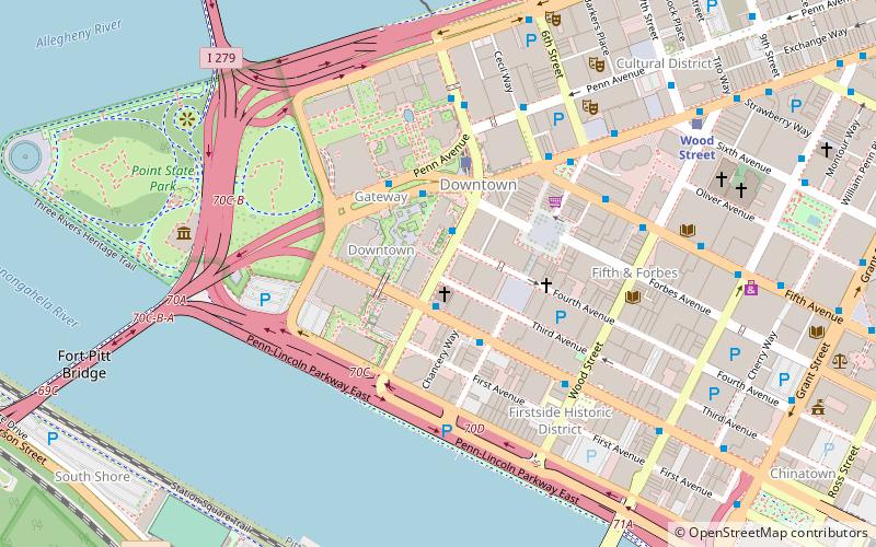
Penn Avenue is a major arterial street in Pittsburgh and Wilkinsburg, in Pennsylvania. Its western terminus lies at Gateway Center in downtown Pittsburgh.
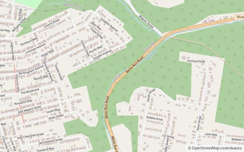
Becks Run Road
Becks Run Road is a street in the Pittsburgh metropolitan area. It connects Brownsville Road in the Carrick neighborhood of Pittsburgh with East Carson Street on the South Side. It is part of the Blue Belt road system.
Map


