Yoho National Park: Nature
Places and attractions in the Nature category
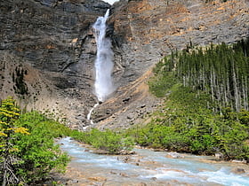
Takakkaw Falls
Towering waterfall in Yoho National Park Takakkaw Falls, a majestic natural wonder nestled within the rugged landscape of Yoho National Park, Canada, stands as one of the tallest waterfalls in the country. The falls plunge from an impressive height of approximately 384 meters (1,260 feet), making it a...
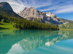
Emerald Lake
Nestled in the heart of Yoho National Park in British Columbia, Canada, Emerald Lake presents a serene escape into nature's pristine beauty. Known for its vivid turquoise waters, which owe their color to the fine rock flour carried into the lake by glacier runoff...
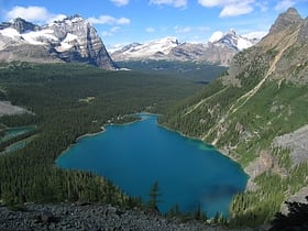
Lake O'Hara
Lake O'Hara is a lake at an elevation of 2,020 metres in the alpine area of Yoho National Park, in the province of British Columbia, on the western side of the Great Divide with the province of Alberta and Banff National Park to the east.
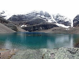
Lake Oesa
Lake Oesa is a body of water located at an elevation of 2,267 metres in the mountains of Yoho National Park, near Field, British Columbia, Canada, while a trail at the far end of the lake leads to Abbot Hut.
Sherbrooke Lake
Sherbrooke Lake is a lake in Yoho National Park, British Columbia, Canada. The lake is bounded on the west by Mount Ogden 2,695 m, Mount Niles 2,972 m to the north, and Paget Peak on the east side.
Opabin Lake
Opabin Lake is a body of water located at an elevation of 2,277 metres in the mountains of Yoho National Park, near Field, British Columbia, Canada.
Vice president
A vice president, also director in British English, is an officer in government or business who is below the president in rank. It can also refer to executive vice presidents, signifying that the vice president is on the executive branch of the government, university or company.
Wapta Lake
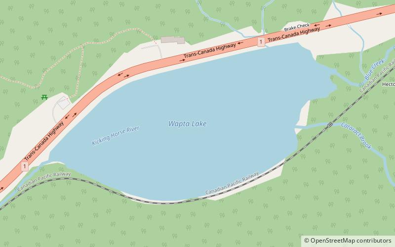
Wapta Lake is a glacial lake in Yoho National Park in the Canadian Rockies of eastern British Columbia, Canada. Wapta Lake is formed from Cataract Brook and Blue Creek in Yoho National Park, and is the source of the Kicking Horse River.
Mount Collie
Mount Collie is a mountain in Yoho National Park, located on the western boundary of the Wapta Icefield in Canada. The mountain was named in 1897 by Charles S. Thompson after J. Norman Collie, an accomplished mountaineer and early explorer of the Canadian Rockies.
President
President most commonly refers to: President President, a leader of a college or university President President may also refer...
Mount McArthur
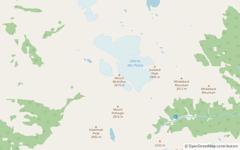
Mount McArthur is a mountain located in Yoho National Park, British Columbia, Canada. It was named in 1886 by Otto Koltz after James J. McArthur, a land surveyor who mapped the Canadian Rockies for the Canadian Pacific Railway.
Collier Peak
Collier Peak is located on the border of Alberta and British Columbia. It was named in 1903 after Collier, Dr. Joseph.
Mount Lefroy
Mount Lefroy is a mountain on the Continental Divide, at the border of Alberta and British Columbia in western Canada. The mountain is located on the eastern side of Abbot Pass which separates Lake Louise in Banff National Park from Lake O'Hara in Yoho National Park.
Deltaform Mountain
Deltaform Mountain is one of the mountains in the Valley of the Ten Peaks, located on the Continental Divide on the border of British Columbia and Alberta, and also on the border between Banff and Kootenay National Parks in Canada.
Mount Victoria
Mount Victoria, 3,464 metres, is a mountain on the border between British Columbia and Alberta in the Canadian Rockies. It is located just northeast of Lake O'Hara in Yoho National Park and is also part of Banff National Park and is on the Continental Divide.
Wapta Mountain
Wapta Mountain is a mountain located in the Canadian Rockies between Emerald Lake and Yoho Valley in Yoho National Park, British Columbia, Canada. It stands just north of the ridge containing the Burgess Shale fossil beds.
Mount Tuzo
Mount Tuzo, previously "Peak Seven" or "Shagowa", was named in 1907 after its first ascendant Henrietta L. Tuzo. It is located within the Valley of the Ten Peaks in the Canadian Rockies, along the Continental Divide, which forms the boundary between British Columbia and Alberta in this region.
Mount Hungabee
Prominent peak on the Continental Divide Mount Hungabee, officially Hungabee Mountain, is a mountain located on the boundaries of Banff National Park and Yoho National Park on the Continental Divide at the head of Paradise Valley, in Canada.
Mount Goodsir
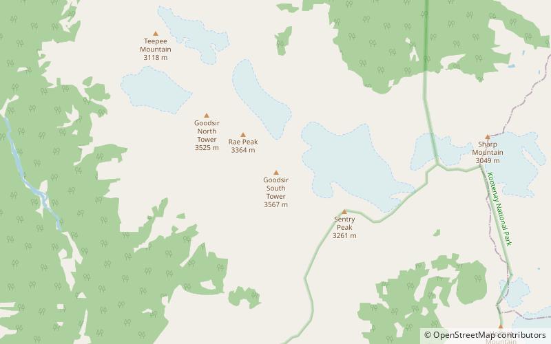
Mount Goodsir is the highest mountain in the Ottertail Range, a subrange of the Park Ranges in British Columbia. It is located in Yoho National Park, near its border with Kootenay National Park.
Mount Balfour
Mount Balfour is a mountain located on the Continental Divide, part of the border between British Columbia and Alberta, in the Waputik Range in the Park Ranges of the Canadian Rockies.It is the 71st highest peak in Alberta and the 113th highest in British Columbia; it is also the 52nd most prominent in Alberta.
Neptuak Mountain
Neptuak Mountain was named by Samuel E.S. Allen in 1894. "Neptuak" is the Stoney Indian word for "nine" as Neptuak Mountain is peak #9 in the Valley of the Ten Peaks.
Mount Allen
Mount Allen is a mountain in the Canadian Rockies, located on the Continental Divide, which forms the provincial boundary between British Columbia and Alberta in this region. J. Monroe Thorington named this mountain for Samuel Evans Stokes Allen in 1924.
Popes Peak
Popes Peak is a mountain on the border of Alberta and British Columbia in Western Canada. It is located on the Continental Divide and is part of the Bow Range of the Canadian Rockies.
Mont des Poilus
Mont des Poilus is a 3,166-metre mountain summit located in Yoho National Park, in the Canadian Rockies of British Columbia, Canada. Its nearest higher peak is Mount Baker, 8.0 km to the north. Both are part of the Waputik Mountains.
Mount Bosworth
Mount Bosworth is located in the Canadian Rockies on the border of Alberta and British Columbia. The mountain is situated immediately northwest of Kicking Horse Pass and straddles the shared border of Banff National Park with Yoho National Park.
Mount Hurd
Mount Hurd is a mountain in the Ottertail Range of the Canadian Rockies in British Columbia, Canada. It was named after Major Marshall Farnam Hurd a Canadian Pacific Railway engineer and explorer.
Wenkchemna Peak
Wenkchemna Peak is located on the border of Alberta and British Columbia. It was named in 1894 by Samuel E. S. Allen. Wenkchemna is the 10th peak in The Valley of the Ten Peaks, as they are normally numbered.
Glacier Peak
Glacier Peak is located on the border of Alberta and British Columbia in the Canadian Rockies. It was named in 1894 by Samuel E.S. Allen in reference to the glacier on the northern side of the mountain.
President Range
The President Range is a mountain range of the Canadian Rockies, located in the northwestern section of Yoho National Park. The range is named for the highest peak in the range, The President.
Wiwaxy Peak
Wiwaxy Peaks is a 2,706-metre mountain near Lake O'Hara in Yoho National Park, in the Canadian Rockies of British Columbia, Canada. The Burgess Shale animal Wiwaxia corrugata is named after it. Its nearest higher peak is Mount Huber, 1.7 km to the east.
Waputik Icefield
The Waputik Icefield is located on the Continental divide in the Canadian Rocky Mountains, in the provinces of British Columbia and Alberta. It is developed on the heights of the Waputik Range in the Central Main Ranges. The icefield is shared by Banff and Yoho National Parks and numerous outlet glaciers extend from the icefield.
Wapta Icefield
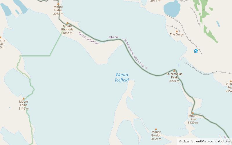
The Wapta Icefield is located on the Continental Divide in the Waputik Mountains of the Canadian Rockies, in the provinces of British Columbia and Alberta.
Vulture Glacier
Vulture Glacier is located in Banff National Park, Alberta, Canada, northwest of Lake Louise, and can be viewed from the Icefields Parkway. Vulture Glacier is an outflow glacier from the Wapta Icefield, which rests along the Continental Divide. The glacier had an area of 4.9 km2...
Map

