Kennedypark, Aachen
Map
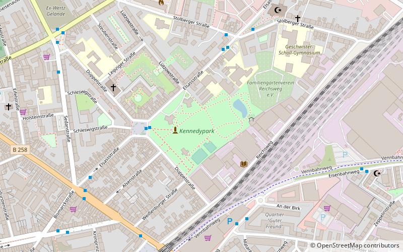
Map

Facts and practical information
Kennedypark is a green space of just over 52,000 m² in Aachen's Ostviertel district. It was created in the 1960s on a former military site and named after the assassinated U.S. President John F. Kennedy.
Elevation: 584 ft a.s.l.Coordinates: 50°46'26"N, 6°7'7"E
Address
Elsassstrasse 78-80Aachen Mitte (Panneschopp)Aachen
ContactAdd
Social media
Add
Day trips
Kennedypark – popular in the area (distance from the attraction)
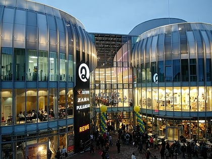
Nearby attractions include: Aquis Plaza, Carolus Thermen, Suermondt-Ludwig-Museum, Frankenberg Castle.
Frequently Asked Questions (FAQ)
Which popular attractions are close to Kennedypark?
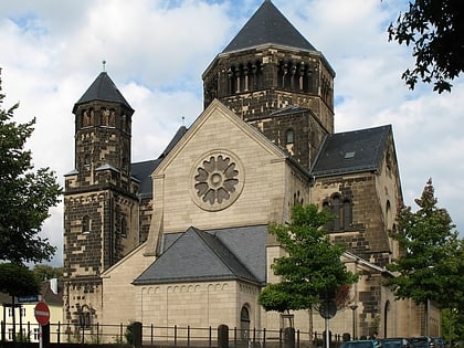
Nearby attractions include Pfarrkirche St. Fronleichnam, Aachen (5 min walk), Grabeskirche St. Josef, Aachen (12 min walk), Ostfriedhof, Aachen (14 min walk), Herz-Jesu, Aachen (16 min walk).
How to get to Kennedypark by public transport?
The nearest stations to Kennedypark:
Bus
Train
Bus
- Kennedypark • Lines: 12, 2, 22 (3 min walk)
- Geschwister-Scholl-Gymnasium • Lines: 12, 2, 22, N 8 (5 min walk)
Train
- Aachen-Rothe Erde (8 min walk)

