Sauhügel
#2445 among destinations in Germany

Facts and practical information
The Sauhügel is a 721.7 m high mountain located in the Thuringian Highland, Thuringia. ()
ThuringiaGermany
Sauhügel – popular in the area (distance from the attraction)
Nearby attractions include: Rauhhügel, Leibis-Lichte Dam, Deesbach Forebay, Thuringian Highland.
 Nature, Natural attraction, Mountain
Rauhhügel
46 min walk • The Rauhhügel is an 812.9 m high mountain located in the Thuringian Highland, Thuringia. It is located close to the municipalities of Schmiedefeld and Lichte and the Leibis-Lichte Dam in the Saalfeld-Rudolstadt district in the Thuringian Forest Nature Park within walking distance of the Rennsteig.
 Dam
DamLeibis-Lichte Dam
122 min walk • The Leibis-Lichte Dam is a 102.5-metre-tall dam in the German state of Thuringia in the Thuringian Highland. The dam was completed in 2005 to impound the River Lichte, between the Lichte municipality section Geiersthal and Unterweissbach.
 Nature, Lake, Natural attraction
Deesbach Forebay
68 min walk • The Deesbach Forebay is a dam in the German state of Thuringia in the Thuringian Highland. It impounds the river Lichte and lies between the municipalities Lichte and Unterweissbach. That particular forebay belongs to the Leibis-Lichte Dam.
 Nature, Natural attraction, Forest
Thuringian Highland, Lauscha
59 min walk • The Thuringian Highland, Thuringian Highlands or Thuringian-Vogtlandian Slate Mountains is a low range of mountains in the German state of Thuringia.
 Nature, Natural attraction, Mountain
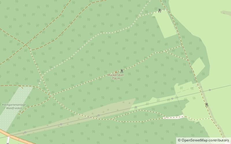
Rückersbiel
24 min walk • The Rückersbiel a 755.6 m high mountain located in the Thuringian Highland, Thuringia. It is located close to the municipality of Lichte and the Leibis-Lichte Dam in the Saalfeld-Rudolstadt district in the Thuringian Forest Nature Park.
 Nature, Natural attraction, Mountain
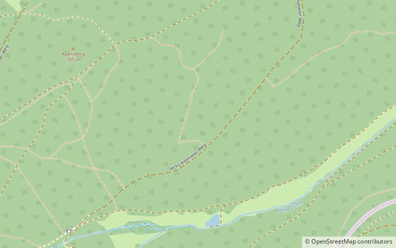
Apelsberg
40 min walk • The Apelsberg is a 785.3 m high mountain located in the Thuringian Highland, Thuringia. It is located close to the municipality of Lichte and the Leibis-Lichte Dam in the Saalfeld-Rudolstadt district in the Thuringian Forest Nature Park.
 Museum
Schloss Wespenstein
137 min walk • Wespenstein Castle is located in the town of Gräfenthal in Thuringia, directly on the border with Bavaria. It secured the pass section of a medieval army and trade route from Leipzig via Saalfeld to Nuremberg over the ridge of the Thuringian Slate...
 Museum
Morassina
41 min walk • Morassina is an inactive mine in Schmiedefeld, Thuringia, Germany. Today it is a tourist attraction known for its stalactites.
 Nature, Natural attraction, Mountain
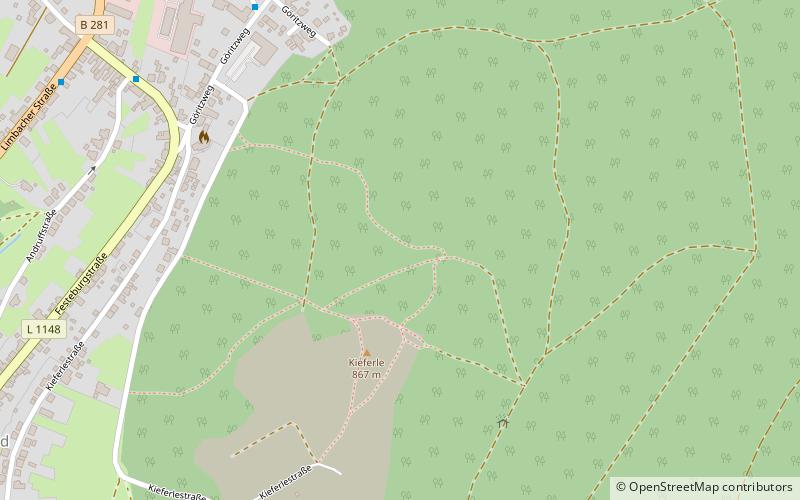
Kieferle
149 min walk • The Kieferle, near Steinheid in the county of Sonneberg, is a mountain, 867.2 m above sea level, in the Thuringian Highland and the second highest mountain of this range, which forms the eastern part of the Thuringian Forest.
 Nature, Natural attraction, Mountain
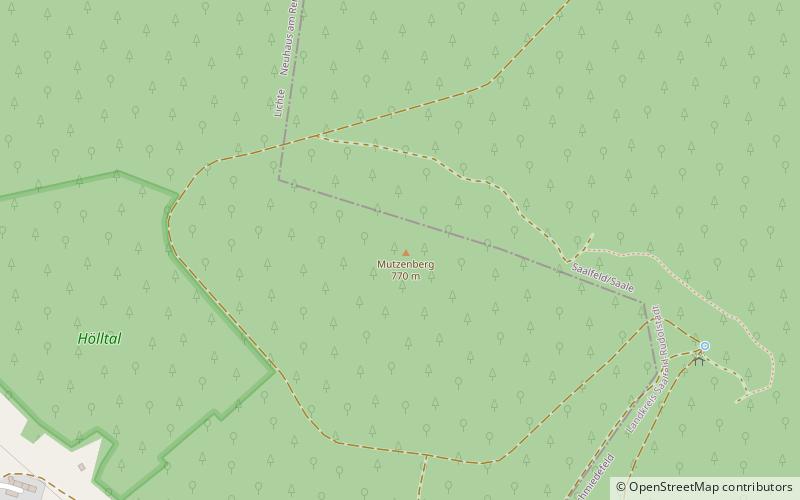
Mutzenberg
27 min walk • The Mutzenberg is a 770.0 m high mountain located in the Thuringian Highland, Thuringia. It is to be found close to the municipality of Lichte, and the Leibis-Lichte Dam in the Saalfeld-Rudolstadt district in the Thuringian Forest Nature Park.
 Nature, Natural attraction, Mountain
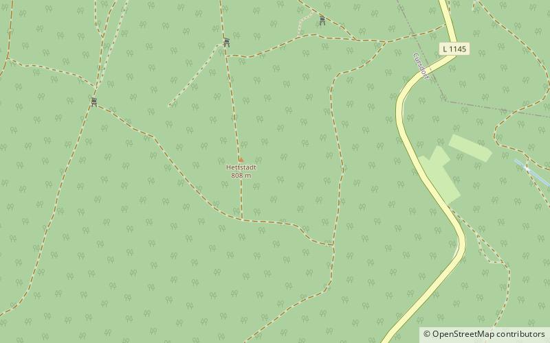
Hettstädt
61 min walk • The Hettstädt is a mountain between Oberweißbach/Thür. Wald and Neuhaus am Rennweg. At 808 metres, it is one of the highest mountains in the Thuringian Highland. It is best accessed from the road between Cursdorf and Neuhaus am Rennweg.