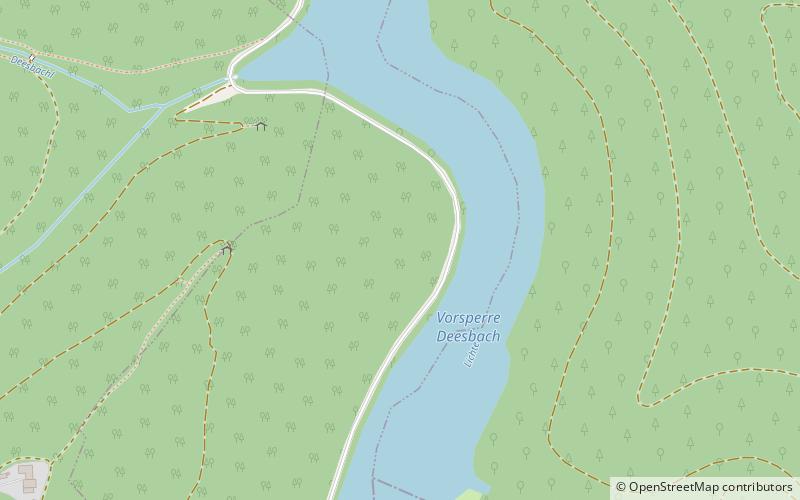
Deesbach Forebay

Gallery (1)
Map
Map
Facts and practical information
The Deesbach Forebay is a dam in the German state of Thuringia in the Thuringian Highland. It impounds the river Lichte and lies between the municipalities Lichte and Unterweissbach. That particular forebay belongs to the Leibis-Lichte Dam. ()
Local name: Vorsperre Deesbach Opened: 1991 (35 years ago)Length: 584 ftHeight: 139 ftReservoir depth: 72 ftElevation: 1699 ft a.s.l.Coordinates: 50°34'11"N, 11°10'10"E
Location
Thuringia
ContactAdd
Social media
Add
Day trips