Aßberg
#2831 among destinations in Germany
Facts and practical information
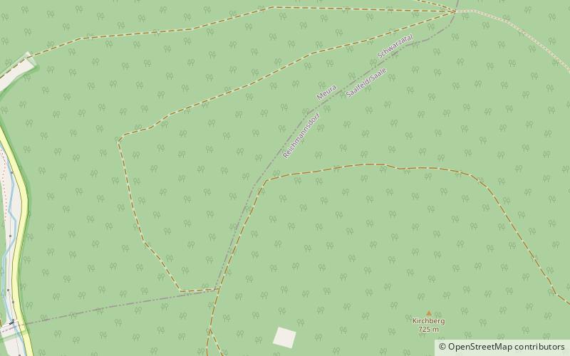
The Aßberg is a 703-m high mountain located in the Thuringian Highland region of Thuringia, Germany. ()
ThuringiaGermany
Aßberg – popular in the area (distance from the attraction)
Nearby attractions include: Feengrotten, Rauhhügel, Leibis-Lichte Dam, Deesbach Forebay.
 Natural attraction, Park, Cave
Feengrotten, Saalfeld
171 min walk • Nestled in the quaint town of Saalfeld, Germany, the Saalfeld Fairy Grottoes, known locally as Feengrotten, offer visitors a magical subterranean experience. This remarkable natural wonder is famed for its colorful underground cave system, which was once a slate mine...
 Nature, Natural attraction, Mountain
Rauhhügel
51 min walk • The Rauhhügel is an 812.9 m high mountain located in the Thuringian Highland, Thuringia. It is located close to the municipalities of Schmiedefeld and Lichte and the Leibis-Lichte Dam in the Saalfeld-Rudolstadt district in the Thuringian Forest Nature Park within walking distance of the Rennsteig.
 Dam
DamLeibis-Lichte Dam
80 min walk • The Leibis-Lichte Dam is a 102.5-metre-tall dam in the German state of Thuringia in the Thuringian Highland. The dam was completed in 2005 to impound the River Lichte, between the Lichte municipality section Geiersthal and Unterweissbach.
 Nature, Lake, Natural attraction
Deesbach Forebay
65 min walk • The Deesbach Forebay is a dam in the German state of Thuringia in the Thuringian Highland. It impounds the river Lichte and lies between the municipalities Lichte and Unterweissbach. That particular forebay belongs to the Leibis-Lichte Dam.
 Nature, Natural attraction, Forest
Thuringian Highland, Lauscha
144 min walk • The Thuringian Highland, Thuringian Highlands or Thuringian-Vogtlandian Slate Mountains is a low range of mountains in the German state of Thuringia.
 Nature, Natural attraction, Mountain
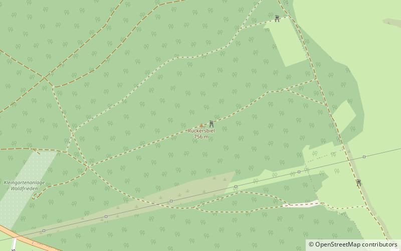
Rückersbiel
110 min walk • The Rückersbiel a 755.6 m high mountain located in the Thuringian Highland, Thuringia. It is located close to the municipality of Lichte and the Leibis-Lichte Dam in the Saalfeld-Rudolstadt district in the Thuringian Forest Nature Park.
 Nature, Natural attraction, Mountain
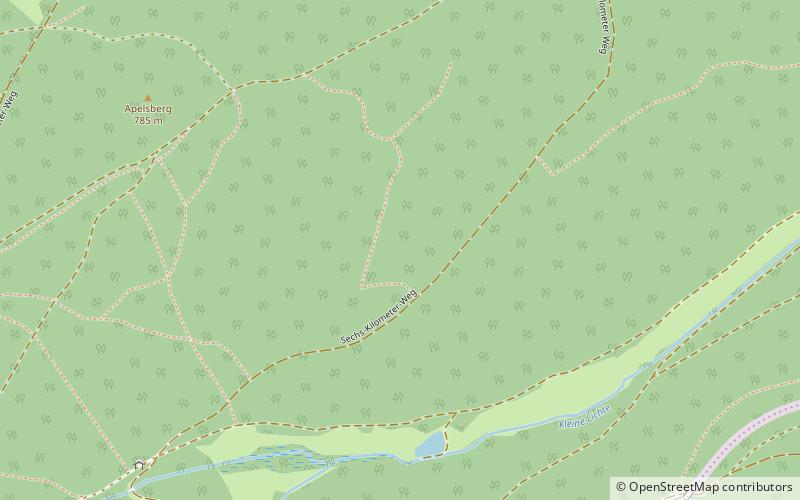
Apelsberg
127 min walk • The Apelsberg is a 785.3 m high mountain located in the Thuringian Highland, Thuringia. It is located close to the municipality of Lichte and the Leibis-Lichte Dam in the Saalfeld-Rudolstadt district in the Thuringian Forest Nature Park.
 Museum
Schloss Wespenstein
116 min walk • Wespenstein Castle is located in the town of Gräfenthal in Thuringia, directly on the border with Bavaria. It secured the pass section of a medieval army and trade route from Leipzig via Saalfeld to Nuremberg over the ridge of the Thuringian Slate...
 Forts and castles
Schloss Schwarzburg
125 min walk • Schwarzburg Castle is a Baroque castle complex, nowadays mostly still in ruins, in the municipality of the same name in the Saalfeld-Rudolstadt district, about 65 km southeast of the Thuringian state capital Erfurt.
 Nature, Natural attraction, Mountain
Sauhügel
87 min walk • The Sauhügel is a 721.7 m high mountain located in the Thuringian Highland, Thuringia. It is located close to the municipality of Lichte and the Leibis-Lichte Dam in the Saalfeld-Rudolstadt district in the Thuringian Forest Nature Park within walking distance of the Rennsteig.
 Museum
Morassina
66 min walk • Morassina is an inactive mine in Schmiedefeld, Thuringia, Germany. Today it is a tourist attraction known for its stalactites.


