MIttelalterlicher Burgstall Parsberg, Germering

Gallery (2)
Map
Map
Gallery
Facts and practical information
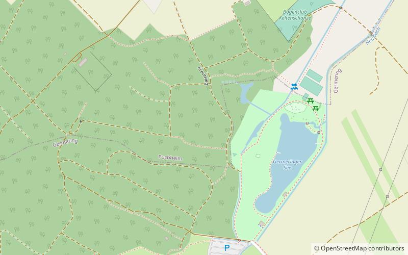
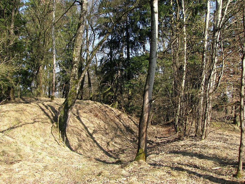
Burgstall Parsberg refers to a departed hilltop castle on a hilltop 550 m above sea level in the district of Puchheim on a hill above the Germeringer See recreation area in the district of Fürstenfeldbruck in Upper Bavaria. The freely accessible archaeological monument goes back to a high to late medieval tower hilltop castle, from which the salt road between Munich and Augsburg was possibly controlled.
Coordinates: 48°8'16"N, 11°20'24"E
Address
Germering
ContactAdd
Social media
Add
Day trips