Schillerplatz, Chemnitz
Map
Gallery

Facts and practical information
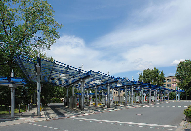
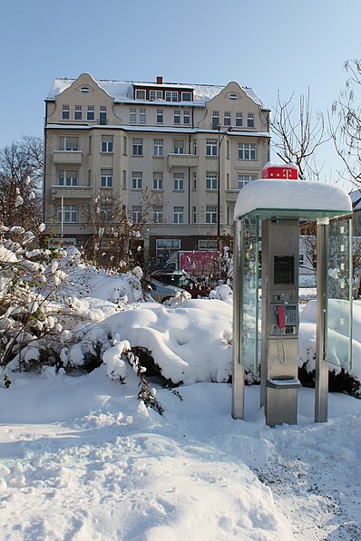
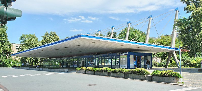
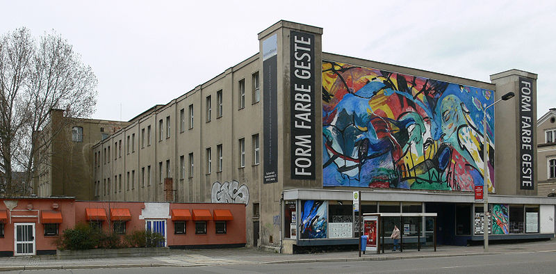
Schillerplatz in Chemnitz is a park in the center of the city center. It received its name in 1859 on the occasion of the 100th anniversary of Friedrich Schiller's birth and has been developed according to plan since 1890.
Elevation: 991 ft a.s.l.Coordinates: 50°50'23"N, 12°55'33"E
Address
ZentrumChemnitz
ContactAdd
Social media
Add
Day trips
Schillerplatz – popular in the area (distance from the attraction)
Nearby attractions include: Karl-Marx-Monument, Gunzenhauser Museum, Galerie Roter Turm, Stadtbad.
Frequently Asked Questions (FAQ)
Which popular attractions are close to Schillerplatz?
Nearby attractions include St. Petri Kirche, Chemnitz (2 min walk), Theater Chemnitz, Chemnitz (3 min walk), Theaterplatz, Chemnitz (4 min walk), Opernhaus Chemnitz, Chemnitz (4 min walk).
How to get to Schillerplatz by public transport?
The nearest stations to Schillerplatz:
Bus
Tram
Train
Bus
- Schillerplatz • Lines: 640, N18 (2 min walk)
- Omnibusbahnhof • Lines: 23, N18 (3 min walk)
Tram
- Omnibusbahnhof • Lines: 3, 4 (3 min walk)
- Theaterplatz • Lines: 3, 4 (5 min walk)
Train
- Chemnitz Hauptbahnhof (6 min walk)
- Bahnbetriebswerk/Kosmonautenzentrum Hp (23 min walk)


