Westfriedhof II, Aachen
Map
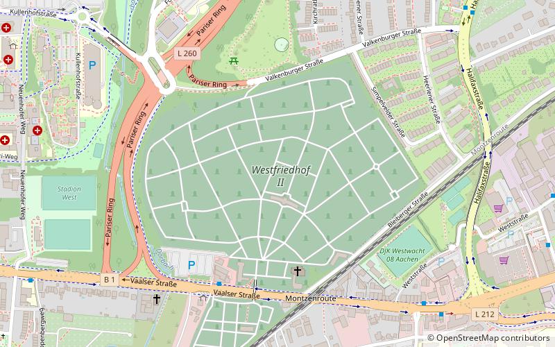
Map

Facts and practical information
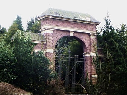
The Aachener Westfriedhof is a burial ground in the west of the city of Aachen, which was established in 1889/90 as a denominationally separated facility on both sides of the arterial road from Aachen to Maastricht about one kilometer before the Dutch border. Both parts of the cemetery with a total size of 279,000 m² are listed under the common postal address Vaalser Straße 334 in Aachen and are connected by a road overpass.
Coordinates: 50°46'17"N, 6°3'5"E
Address
Aachen Mitte (Westpark)Aachen
ContactAdd
Social media
Add
Day trips
Westfriedhof II – popular in the area (distance from the attraction)
Nearby attractions include: Ponttor, Öcher Schängche, Westpark, RWTH Aachen University.
Frequently Asked Questions (FAQ)
Which popular attractions are close to Westfriedhof II?
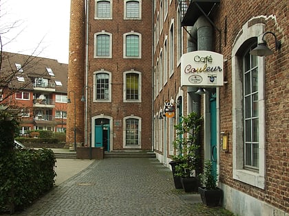
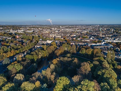
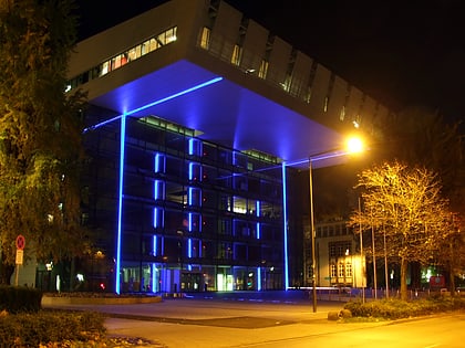
Nearby attractions include RWTH Aachen University, Aachen (19 min walk), Westpark, Aachen (19 min walk), St. Sebastian, Aachen (22 min walk), Bleiberger Fabrik, Aachen (23 min walk).
How to get to Westfriedhof II by public transport?
The nearest stations to Westfriedhof II:
Bus
Train
Bus
- Westfriedhof • Lines: 103, 25, 3, 30, 35, 4, 43, 45, 5, 55 (5 min walk)
- Venskyhäuschen • Lines: 25, 3, 35, 4, 45, 5, 55, N 7 (8 min walk)
Train
- Aachen Schanz (25 min walk)
- Aachen West (26 min walk)
