Kop Nück, Wershofen
#1 among attractions in Wershofen

Facts and practical information
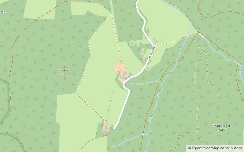
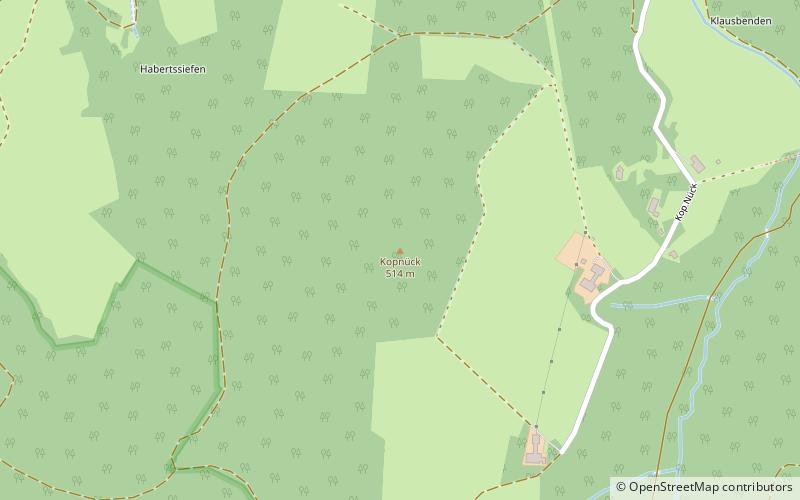
Kop Nück, also called Am Kopnück, is a small settlement, which belongs to the town of Bad Münstereifel in the district of Euskirchen in the German state of North Rhine-Westphalia. ()
Wershofen Germany
Kop Nück – popular in the area (distance from the attraction)
Nearby attractions include: Michelsberg, Stockert Hill, Felsennest, Hürten Heimatmuseum.
 Nature, Natural attraction, Mountain
Michelsberg
34 min walk • The Michelsberg, at 586.1 m above sea level, is the highest point in the borough of Bad Münstereifel in the county of Euskirchen in the German state of North Rhine-Westphalia.
 Nature, Natural attraction, Specialty museum
Stockert Hill, Bad Münstereifel
151 min walk • The Stockert is a 435-metre-high hill which rises between Eschweiler and Holzheim in the district of Euskirchen in the borough of Bad Münstereifel, in the Eifel mountains of Germany, and west of the city of Bonn.
 Ruins
RuinsFelsennest, Bad Münstereifel
91 min walk • At the start of the Western European campaign of 1940, the Felsennest was the codename for one of Hitler's Führer Headquarters near Bad Münstereifel, Germany. It was much more cramped than Adolf Hitler's other field bunkers, having only four rooms.

 Specialty museum, Museum
Pharmacy Museum, Bad Münstereifel
105 min walk • The pharmacy museum in Bad Münstereifel displays materials from the 19th and 20th centuries in a functioning pharmacy, for example, an officina, laboratory, materials chamber, herb cabinet, herb garden, etc. The shelves date back to 1806.
 Mountain
Kopnück, Bad Münstereifel
5 min walk • The Kopnück is a hill, 514.4 m above sea level, in the northern Ahr Hills, a region within the Eifel Mountains in Germany. It rises near the village of Kop Nück in the borough of Bad Münstereifel in the German state of North Rhine-Westphalia.
 Nature, Natural attraction, Mountain
Hochthürmerberg
129 min walk • The Hochthürmerberg, is a hill, 499.9 m above sea level, in the Eifel region. It is situated in the county of Euskirchen in North Rhine-Westphalia near the state border with Rhineland-Palatinate in Deutschland.
 Nature, Natural attraction, Mountain
Herkelstein
168 min walk • The Herkelstein is a hill, 434.5 m, in the northeastern part of the der Eifel, in the German state of North Rhine-Westphalia. It forms the highest point of the Eschweiler Ridge and lies in the North Eifel Nature Park.
 Archaeological site
Alte Burg, Bad Münstereifel
108 min walk • The Alte Burg in Bad Münstereifel, Germany, is a circular rampart that is the remains of a fortification from the Carolingian period. The refuge castle acted as a place of retreat for the local population and as protection for the daughter monastery of Prüm Abbey.
 Museum
Radioteleskop Effelsberg, Bad Münstereifel
102 min walk • The Effelsberg 100-m Radio Telescope is a radio telescope in the Ahr Hills in Bad Münstereifel, Germany. For 29 years the Effelsberg Radio Telescope was the largest fully steerable radio telescope on Earth, surpassing the Lovell Telescope in the UK.
